To plan a scenic drive through protected lands, pick the region and the specific road first, verify that the road is open and whether it needs a timed-entry or vehicle reservation, then build an itinerary that keeps long travel days separate from days spent at the overlooks and trailheads along the way. Most of the work happens before you turn the key: a weekend of planning on a national park road trip takes a couple of hours, and the payoff is a drive that runs smoothly instead of one that dead-ends at a closed gate.
I have planned this kind of route enough times to know where trips go sideways. Almost never because the scenery was bad. It is the reservation that was booked for the wrong date, the seasonal closure that quietly started a month early, or a day built around a 400-mile hop that leaves everyone too tired to enjoy the overlook at the far end.
Southeastern road-trippers get the timing right more often than most people expect. Our shoulder seasons are long, our state parks and national forests carry a lot of the driving, and the big western park roads we all want to drive are the ones that shut for winter. This guide lays out the process in the order it works.
Table of Contents
- What You Need
- How to Plan a Scenic Drive Through Protected Lands Step by Step
- 1. Choose the landscape and region
- 2. Research scenic roads and public access
- 3. Check permits, closures, and vehicle rules
- 4. Build a route with realistic timing
- 5. Add responsible and safe stops
- 6. Prepare for weather, roads, and emergencies
- 7. Leave a flexible itinerary
- Common Mistakes
- Frequently Asked Questions
- Can Google Maps give a scenic route?
- What is considered the scenic route?
- Do I need a permit or reservation to drive through a national park?
- Can I sleep in my car at a pullout or campground?
- Can I bring my dog on park roads and trailheads?
- How do I find out which park roads are open right now?
- Conclusion
What You Need
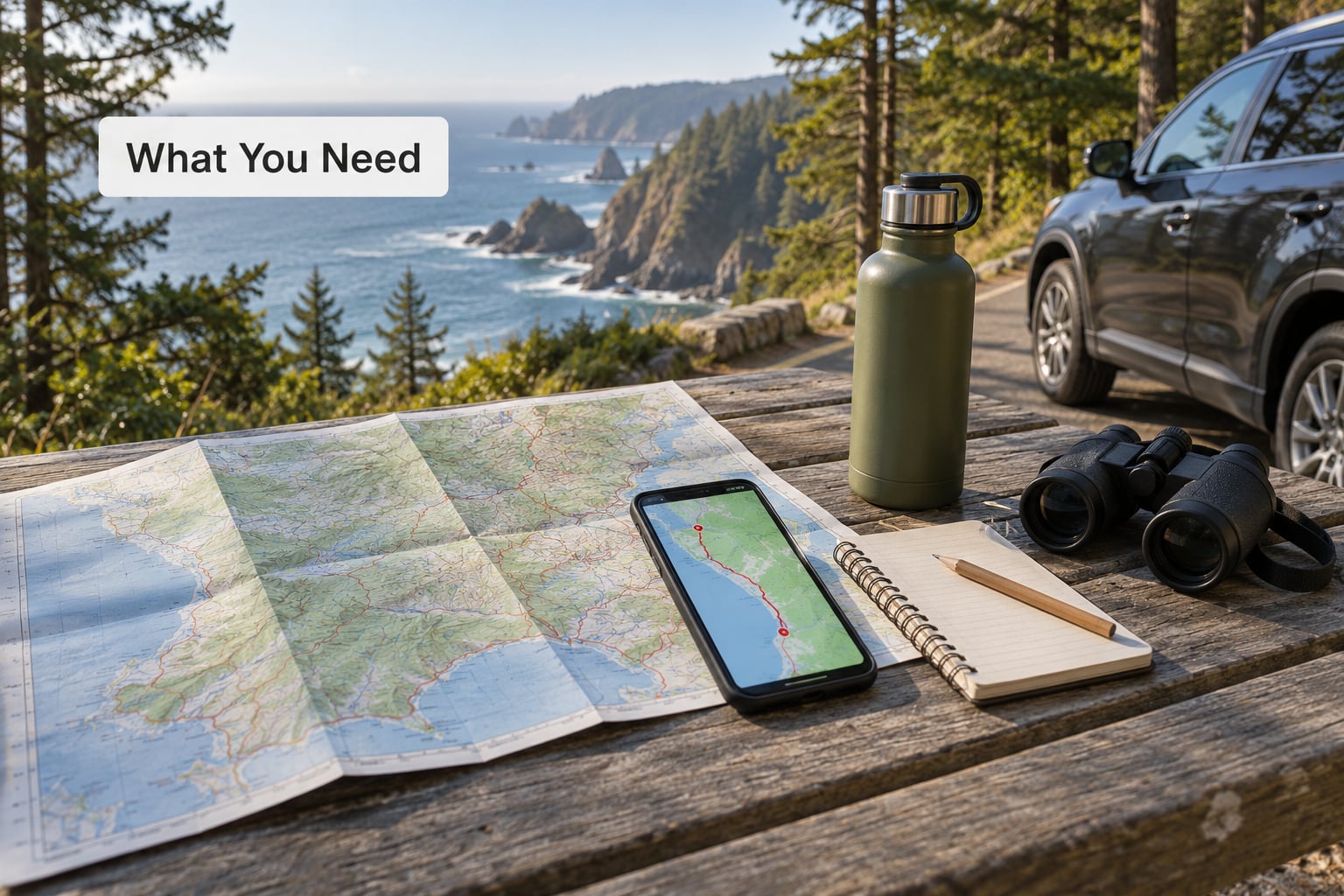
Gather these before you pick a route. The list is short because everything on it changes what you are allowed to do on the road, and finding out halfway through the drive is the expensive way to learn it.
Official road and closure information. The National Park Service site for each park carries a current conditions page, and the NPS app works offline once you have downloaded a park’s map. For national forest roads, the Forest Service and BLM websites are the same idea in a different wrapper. For byways, go to the state department of transportation, not a travel blog.
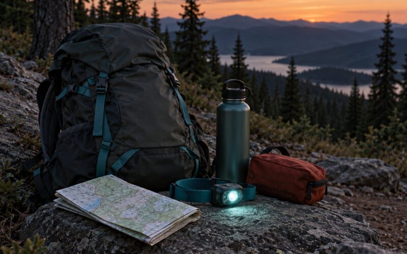
A road atlas or offline maps. Cell coverage drops to nothing in a lot of these corridors, and a navigation app that loses signal will happily reroute you onto a forest road at dusk. Download the region before you leave home and treat paper as your backup for the truly remote stretches.
An entrance pass or a budget for per-park fees. The America the Beautiful Pass covers entrance at most national parks and some federal recreation areas across the whole country, which pays for itself fast if you are hitting several parks on one trip. Day-use fees at individual parks are billed separately from the passes.
Reservation confirmations. Vehicle reservations for roads like Going-to-the-Sun Road in Glacier and timed-entry systems at heavily visited parks are issued for specific dates and specific windows. Screenshot the confirmation. Signal is poor in exactly the places where you will want to show it.
A vehicle check. Measure your rig before you commit to a road: total length including anything on the roof or the back, height, width, and weight. Park roads carry posted length limits, clearances and propane restrictions, and trailers are barred from a surprising number of the roads people most want to drive.
Water, food and a full fuel tank. Service stations can be 60 to 100 miles apart on some park approaches. Carry more water than you think you need, keep snacks that do not require cooking, and fill the tank when it drops below half.
A download of the map and the park rules. Food storage rules, speed limits for wildlife, and which roads permit camping are published by the agency, not by the roadside.
How to Plan a Scenic Drive Through Protected Lands Step by Step
1. Choose the landscape and region
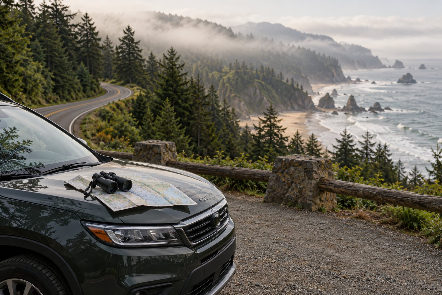
Start with the terrain rather than the destination list. Coastal forest roads behave completely differently from high alpine passes: one is wet, winding and slow in fog, the other is snow-prone and has a six-month window. Deciding which environment you actually want to spend a full day in will narrow your options faster than any other step.
Then filter by the constraints you cannot bend. How many days do you really have? Are you comfortable on gravel, or do you need pavement the whole way? Does anyone in the car have limited mobility, which rules out a long walk from an unpaved pullout but not necessarily the overlook itself? Answers to those three questions remove most routes from consideration.
Here is a rough set of roads that come up constantly, with the details most people need to compare. Distances are approximate and opening dates change every year, so treat this as a shortlist and then verify.
- Blue Ridge Parkway, North Carolina to Virginia. Roughly 470 miles end to end, with the northern section joining Skyline Drive. Almost entirely paved, lots of frequent pullouts, and long stretches with no services. This is the easiest big drive on the list for a first timer.
- Skyline Drive, Shenandoah National Park, Virginia. About 105 miles along the crest of the Blue Ridge. Seasonal, with posted wildlife speed limits and plenty of places to walk a short way off the pavement in summer.
- Natchez Trace Parkway, Mississippi and Alabama. Close to 444 miles of two-lane road built for slow driving, with commercial trucks prohibited. Good shoulder-season pick, and flat enough for a lot of the route.
- Trail Ridge Road, Rocky Mountain National Park, Colorado. One of the highest continuous paved roads in the country, topping out above 12,000 feet. It is seasonal in a big way and should not be part of a plan that has no alternative.
- Going-to-the-Sun Road, Glacier National Park, Montana. Roughly 71 miles across the Continental Divide to Logan Pass. Vehicle reservations are required for most private vehicles during the peak season, and there are length and axle restrictions at the tunnel.
- Tioga Road, Yosemite National Park, California. About 50 miles one way to Tioga Pass, open only when the snow is off it. Fuel inside the park is thin, so fill up before you cross the east entrance.
- Denali Park Road, Alaska. Private vehicles are turned around well short of the end of the road; the rest is a park shuttle. Plan it as a shuttle day rather than a driving day.
- Beartooth Highway, Montana and Wyoming. About 68 miles climbing to a pass north of 11,000 feet. Late summer only, and worth building a whole day around.
2. Research scenic roads and public access
Start on the agency’s own pages. Every national park publishes a road status or conditions page, and it is the only source that knows about the culvert failure or the resurfacing project happening right now this month. Cross-check it against the park’s alerts page and the National Park Service app.
For anything outside a park boundary, the designation tells you who manages the road and what the rules are. A National Scenic Byway runs through federally protected land under a corridor management plan, an All-American Road is the top federal designation and the only one whose entire length sits in protected land, and a national forest scenic byway is a state or local route that takes in national forest scenery without being managed by the Forest Service.
That distinction matters on the ground. All-American Roads tend to have the strongest interpretation programs and the most consistent pullouts. National forest scenic byways are wonderful and far less predictable about what services exist. Park roads are the most tightly managed, which is exactly why they are the ones with reservations and seasonal gates.
Visitor centers are worth a phone call when you cannot visit in person. Rangers will tell you honestly whether a road is worth the drive that week, and they hear the same complaints every day.
3. Check permits, closures, and vehicle rules
Three different systems get confused with each other constantly, so it is worth keeping them straight.
An entrance fee is what you pay to pass the gate. A timed entry reservation controls when you may enter the park at all, usually during the busiest hours at the busiest parks. A vehicle reservation is stricter: it assigns you a specific date and a specific arrival window for one specific road, and showing up without it means you do not get on that road.
Seasonal closures work on their own schedule and shift every year. Alpine roads open when the maintenance crews finish clearing snow and close when the forecast turns, not on a published calendar date. Roads also close temporarily for construction, wildfire, flooding and wildlife migration, and a road listed as open in June can be shut in July.
Vehicle rules are where RVers get caught. Parks post maximum length, width and height limits, restrict propane and other compressed gas cylinders in tunnels and garages, and prohibit trailers outright on roads that were built for passenger cars. Several roads close entirely to vehicles over a certain length, and some keep a vehicle class out during the busiest season. Check your exact combined length including mirrors and racks, because that is what gets measured.
Finally, some segments are seasonal and shuttle-only during peak periods. If a road converts to shuttle access for part of the summer, park accordingly and do not build a day around driving it.
4. Build a route with realistic timing
Almost every ruined road trip I have seen traces back to one arithmetic error: someone estimated drive time from the map distance at highway speed. Mountain roads average far below that. A 100-mile park road at posted limits of 25 to 35 mph, plus pullouts, plus an hour of photographs, is a three-hour job, not a two-hour job.
Build the itinerary in two layers. Put your fixed commitments on one layer: the timed reservation, the booked campground, the day you absolutely have to be back home. Put every scenic pullout on the other layer as optional. Then travel to the fixed commitments with a realistic margin so that losing a layer costs you a nice stop instead of the trip.
Separate travel days from park days wherever you can. Forum regulars on r/roadtrip repeat the same advice constantly: a six-hour drive followed by a full afternoon of sightseeing produces tired people who skip the overlook. Two slower days beat one heroic one.
Work the daylight math too. In summer, sunrise and sunset are the best light and the emptiest pullouts, so an early start buys you both. In late fall and winter, the sun sets fast in the mountains and the same drive takes half as long in usable light.
5. Add responsible and safe stops
Pullouts are where a scenic drive becomes an actual day. Short walks to overlooks, birding at marsh edges, historic sites along old roads, and paddling access all fit naturally into a route, but the spacing matters more than the count. Four stops across a day leaves time to actually stand at them.
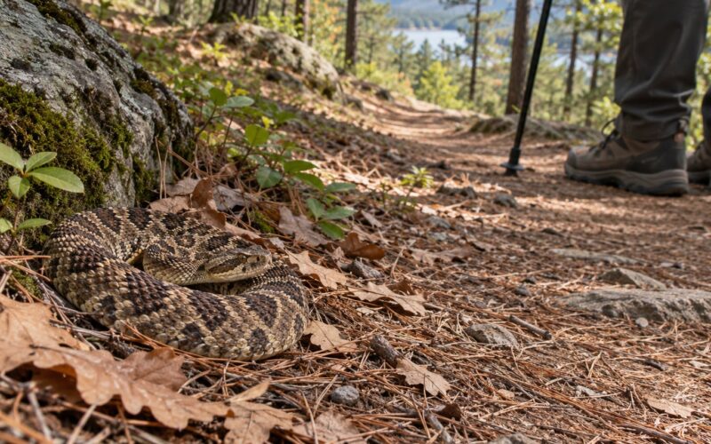
Wildlife rules are not optional etiquette. Posted speed limits in park roads exist because animals cross them, and vehicle-animal collisions are a serious and preventable problem. Slow down at dusk and dawn, give animals the right of way, and never crowd them for a photograph. If a bear or a wolf appears, keep your distance and put the phone away.
Food storage deserves its own habit. Bear canisters and lockers are required in many parks and strongly recommended everywhere else. Do not leave food in the car, do not feed animals even if it looks harmless, and pack out everything you unpack. Anything left behind can end a habituation incident and get an area closed to people for a season.
Stay off sensitive ground. Alpine tundra, dune systems, marsh edges and nesting areas are protected because they are fragile, and a short walk to a hard-surfaced overlook satisfies nearly everyone in the car.
6. Prepare for weather, roads, and emergencies
Check the forecast for the specific elevation you are driving to, not the nearest town. Mountain weather changes fast, and a clear valley forecast says nothing about a pass at 12,000 feet.
Fire restrictions matter more than most visitors realize. In peak fire season, campfires and sometimes smoking are banned outright on federal land, and some roads close to firefighting access. Check fire restrictions and closures the day before you drive.
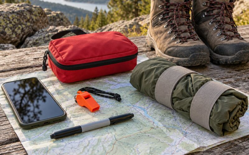
Plan fuel around the gaps, not around the towns. Note every station between your start point and your destination and treat the last one as your cutoff. Carry water, a spare tire or a repair kit, extra layers for the elevation, and a paper map of the corridor.
Save the local emergency number and the phone number for the park dispatch or visitor center before you lose signal. Tell someone your route and your expected arrival time, especially on multi-day segments where a breakdown runs long.
7. Leave a flexible itinerary
The last step is giving yourself permission to change the plan. Weather moves in, a road closes for resurfacing, a wildlife jam backs up traffic for an hour, and a pullout turns out to be worth far more time than you guessed.
Keep one evening unscheduled at the end of a long trip rather than in the middle, so a delayed day has somewhere to go. Keep a short list of alternate routes that serve the same purpose: a valley road instead of a pass, a forest scenic byway instead of a park road, a shorter day instead of a long one.
And protect the unstructured time. The stop you did not plan is often the one you remember. Leave room in the schedule for pulling over because something looked interesting.
Common Mistakes
Trusting a map that is out of date. Printed atlases and saved routes go stale, and a route that shows a road as open may have been closed since the map was printed. Fix: open the park’s current conditions page the week you travel and the morning you leave.
Estimating drive time from map distance. This is the most common planning error and the most expensive. Fix: read the posted speed limit for the slow section, then add your stop time before you convert miles into hours.
Treating the entrance fee as the only thing to arrange. A park with a free entrance can still have timed entry, and a road inside a park can require a separate vehicle reservation. Fix: check the road, not just the gate.
Missing the reservation window. Vehicle reservations for roads such as Going-to-the-Sun are released on a specific schedule, release quickly, and carry date and window restrictions. Fix: put the release date in your calendar the day you decide on the route.
Failing on vehicle size. Length, height and trailer restrictions turn a great road into a no-go, and the posted limit sometimes applies to combined length. Fix: measure the rig with everything attached and read the road page, not just the park overview.
Overpacking the day with stops. Six pullouts in four hours turns a drive into a parking-lot relay. Fix: pick three and leave the rest for another day or a second trip.
Ignoring seasonal hazards. Snow on an alpine pass, wildfire closures in summer, and early darkness in fall are the three that end drives early. Fix: check the forecast, the fire restrictions and the sunset time for your exact dates.
Leaving food accessible. An open car window or a visible cooler can cause real harm to wildlife and lead to area closures. Fix: use a bear canister or locker, every time.
Driving wildlife hours at posted speed. Animals move at dawn and dusk, exactly when you want the light. Fix: drop well below the posted limit through wildlife habitat, especially in fall.
Depending on cell service. Coverage gaps on park roads are the norm, not the exception. Fix: download offline maps, carry paper, and fill fuel before a corridor with no services.
Skipping the family pace negotiation. One driver wants to cover ground, the other wants fewer and deeper stops. Agree on the fixed commitments and let the rest stay flexible. Fix: decide the two things the trip must include before you look at any route.
Frequently Asked Questions
Can Google Maps give a scenic route?
Partly. Google Maps and similar apps can add a scenic layer that prefers curvy roads and marked viewpoints, but it does not know that a park road closes in October, that a stretch requires a vehicle reservation, or that fuel stops are 80 miles apart. Use it to shape a route and to estimate time, then confirm every protected-land road on the agency’s own conditions page.
What is considered the scenic route?
A scenic route is a road officially recognized or managed for its views: a national park road, a national parkway, a road designated under the National Scenic Byways Program, or a national forest scenic byway. All-American Roads are the top designation and the only ones whose entire length sits inside protected land. Look up the designation to see who manages the road and what rules apply.
Do I need a permit or reservation to drive through a national park?
Most of the time no, if you are simply driving through and paying the entrance fee or holding an America the Beautiful Pass. But some parks require timed-entry reservations during busy hours, and a few park roads require a separate vehicle reservation for a set date and arrival window. Denali Park Road also limits private vehicles to a short section in summer. Check each park’s alerts page.
Can I sleep in my car at a pullout or campground?
Sometimes, and the rules are stricter than most visitors expect. Sleeping in a vehicle is generally not allowed at pullouts and parking lots, and many campgrounds require a reservation and a fee, with limits on how many nights you can stay. Sleeping in the car at a designated backcountry or dispersed camping spot is a different matter. Read the specific camping page for where you are going before you count on it.
Can I bring my dog on park roads and trailheads?
On the roads, dogs are usually fine in a vehicle. Off the pavement it depends on the park: some allow leashed dogs on trails, many restrict them to campgrounds, and some ban them entirely to protect wildlife. Never let a dog chase an animal, and keep wildlife distances the same whether or not a dog is with you. Leash rules are set by the park, so check the specific site.
How do I find out which park roads are open right now?
Start on the park’s own conditions or alerts page, which is updated by the agency and reflects construction, wildfire, flooding and snow work in real time. The National Park Service app shows the same information and works offline if you download the park first. For non-park forest and byway roads, check the Forest Service, BLM or state transportation department site for that corridor.
Conclusion
Learning how to plan a scenic drive through protected lands comes down to a sequence: choose the region and the road, verify current access and reservation rules, measure your vehicle against the posted limits, then build an itinerary that keeps hard travel separate from time at the overlooks. Everything else is detail.
Start tonight with the park conditions page for the one place you already want to drive. Check the road status, find out whether a reservation is involved, and note the dates it opens and closes. That single page answers most of what used to take three browser tabs and a phone call to a visitor center.