Free public access to a river exists almost everywhere in the United States, but almost none of it is signed. You find it by layering three things: your state’s official access inventory, public land boundaries from federal and state agencies, and the boundary rule your state uses to decide where public water ends and private bank begins. Ten minutes of research before you drive out is the difference between a free afternoon and a trespass ticket.
The part that makes people nervous is that the law is genuinely different in every state. A river bank that is wide open in Washington can be posted private land two counties away in the same state, and the spot you wade-fished last summer might now sit behind a new gate.
So this is a method, not a list of magic spots. Follow the steps in order and you will end up with a yes or a no before you load the truck. One note up front: this is general information about how access law and public records work, not legal advice, and the specifics change. Last reviewed for October 2026.
Table of Contents
- What You Need
- Step-by-Step: How to Find Free Public Access to a River
- Identify the river, county, and access type
- Search official state and federal maps
- Check county and municipal access records
- Confirm easements and public-land boundaries
- Verify the access in recent field reports
- Check access before leaving home
- Use maps and public records to confirm access
- Plan a low-water or high-water access check
- Common Mistakes When Looking for Public River Access
- Frequently Asked Questions
- Can you legally walk to a river across private property?
- How can I tell whether a river access point is public?
- Are public river easements the same as public ownership?
- Can I park at a public river access point overnight?
- How do I find out whether a public boat ramp is closed?
- Start With the Nearest Verified Public Access Point
What You Need
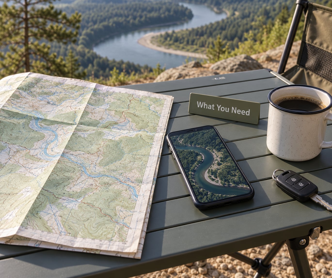
Before you open a single map, gather five things. Skipping any one of them is how people end up at the wrong river mile.
- The river name and the state. Rivers have aliases, forks and renames, and county lines often decide the whole legal question. “The river” is not a search term.
- The county, and if you can manage it, the township. County records are where easements and road status actually live.
- The access type you need. A kayak put-in, a boat ramp you can trailer to, a bank you can stand on, or a trailhead that reaches the water in half a mile. These are four different searches.
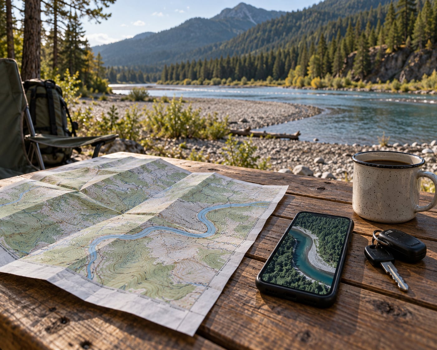
- A satellite map and a topo map on the same device. Free. Google or Apple Maps gives you satellite view; USGS topoView or The National Map gives you road hierarchy and river character.
- A way to confirm current status. That means a state agency phone number, a county parks or road department number, and the non-emergency line for the state game warden.
Add your fishing license to the gear bag if you plan to fish. A license is cheap compared to a citation, and wardens do check.
Step-by-Step: How to Find Free Public Access to a River
Six steps, in this order. Each one either confirms the spot or kills it, and you move on quickly when it is dead.
Identify the river, county, and access type
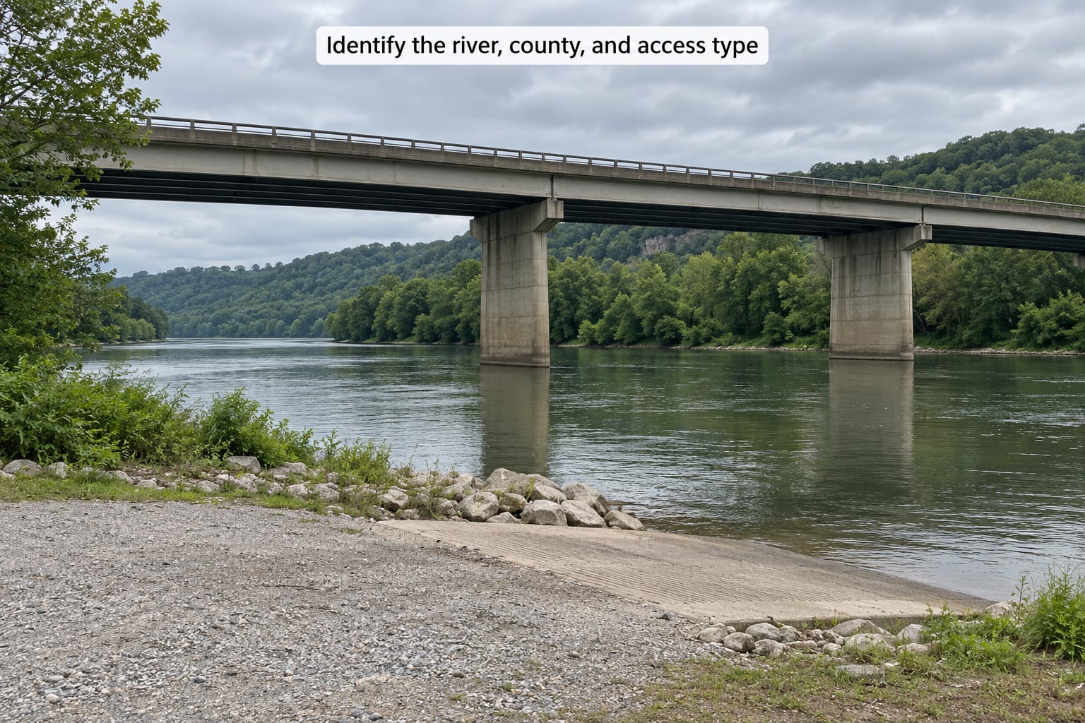
Start with the official name. USGS place names and state geographic name records will give you the correct river and its variants, which stops you from researching the wrong water. Then find the county line, because the county is your parcel viewer, your sheriff’s office and your road department all in one.
Decide the access type before you search, not after. A formal ramp is a state-built asset with a name and often a maintenance contact. A bridge crossing is a right-of-way question. A trailhead access is a land manager question. Searching all three at once buries the answer.
You worked this step correctly when you can name the river, the county, and the type of access you need in one sentence.
Search official state and federal maps
Every state has a fish and wildlife or natural resources department that publishes a public access layer. Pennsylvania’s Fish and Boat Commission publishes a formal Fishing and Boating Access Strategy document that lays out its entire access inventory, and Texas, Montana, Washington, Colorado, New York and others maintain equivalent maps. This is the highest-yield source you have, and it costs nothing.
Then check the federal side, because federal land is the most consistently open-to-the-public ground a river has. The Bureau of Land Management, the US Forest Service, the National Park Service and the US Fish and Wildlife Service all publish recreation maps. Recreation.gov and the National Outdoor Recreation Inventory layer more than twenty-three thousand federal recreation sites, which is a good cross-check that a reach of river sits inside a boundary you assumed was private.
You worked this step correctly when you have at least one named access point with a managing agency attached to it, and a second source that agrees it exists.
Check county and municipal access records
This is where most searches stop too early, and where the real gaps are. County parks departments, road departments, public works and sometimes the sheriff’s office maintain access areas that never show up on a recreational map. County road departments also know which roads are paved and maintained, which are seasonal gravel, and which are closed.
Email rather than call when you can. Ask three specific questions: who manages this access, is there an easement or right-of-way recorded, and is the road open year-round. A written answer you can screenshot is worth more than a friendly conversation you cannot prove later.
You worked this step correctly when you have a name and a contact for the agency or landowner holding the easement, and a yes or no on current status.
Confirm easements and public-land boundaries
Here is the distinction that saves the most trouble: a public easement is a right to use someone else’s land, not ownership of it. The river corridor can be public in the water and privately owned on the bank, and the strip you are allowed to cross can be ten feet wide or fifty.
Open the county GIS parcel viewer or county assessor site and look at the actual parcels at the access point. If the layer is public, you can see boundaries, owner names and recorded easements. If you have to call the assessor to get a plat, do that — a plat is usually a few dollars and settles the question. Private conservation organizations hold easements too, and those come with their own rules about where you can walk and when you can be there.
Two words you will hear here. Navigable river means a river legally presumed open to the public, often because of historic interstate commerce. Ordinary high water mark is the boundary that in some states extends public ownership up onto the bank, and where it sits is exactly what makes this state-specific. Public trust doctrine is the underlying principle that certain natural resources, navigable waters included, are held for the public. Riparian rights is the legal framework covering who owns and may use a streambed and its banks.
You worked this step correctly when you have seen the parcel and can say out loud which parcel you would be standing on and under whose authority.
Verify the access in recent field reports
Maps lag reality. Dams come and go, roads wash out, and a new fence goes up across a gravel bar. Look for dated observations from the last season: ranger and site-manager posts, recent trip reports, local outfitter notes, dated photos, state agency alerts, and recent posts in local fishing and paddling groups.
Read them for the specific tells. Someone reporting a locked gate, a washed-out approach road, a new no-trespassing sign, seasonal high-water closures, or a gravel bar that disappeared after a flood is telling you the map is out of date. A photo taken from the parking apron on a clear day is worth more than a ten-year-old map layer.
Treat crowd-sourced spot apps as leads, not as legal confirmation. They are excellent at telling you that somebody found a usable place. They say nothing about who owns it.
You worked this step correctly when you have at least one dated observation from the current season confirming the approach is open and passable.
Check access before leaving home
Run the final checklist before the truck starts. It takes about ten minutes and it is the step that actually prevents problems.
- Confirm the access point appears on an official agency map, not just a user pin.
- Confirm the parcel under the parking area is public, county-owned, or covered by a recorded easement.
- Confirm the road is open. A closed road on public land is still trespass, and gated forest roads are the most common surprise in this whole process.
- Note gate codes, daylight hours, whether a fee applies, and any vehicle or trailer size limits.
- Check whether restrooms exist. Most primitive accesses do not have them.
- Check current river conditions and fishing or boating rules for that water, including any seasonal closures or restrictions on the species you want.
- Decide whether the landing suits your equipment. A steep eroded bank is no use if you are launching a full-size trailer boat.
Then call the state game warden’s non-emergency office if anything above is still unclear. This is a normal call to make, they are set up for it, and a two-minute conversation with a law enforcement officer beats a fine by a wide margin. Bring your license and ID if you do end up talking to one in the field.
You worked this step correctly when you can say, without guessing, who manages the site, whether you are legal, and what the current conditions are.
Use maps and public records to confirm access
Here is how the pieces fit together on a real search. Say you have a creek picked out from a topo map, roughly forty minutes from where you live, in a county you have never visited.
First pass: the state natural resources access map shows nothing at the mile you care about. That is common on smaller creeks, and it does not mean the water is closed. It means the state has not built an access site there.
Second pass: you zoom the satellite layer and look for physical tells. A gravel parking apron, a concrete ramp going into the water, a turnaround loop, a picnic table, a portable toilet, a mowed strip. That geometry is hard to fake and it usually means somebody built access there at some point.
Third pass: the county parcel viewer. The apron turns out to sit on a county road right-of-way, which is a very good sign, and the far bank is a large parcel owned by a timber company with a recorded stream easement recorded in the county records. That easement is the legal basis for access, and it is recorded whether or not the map shows it.
Fourth pass: you email the county road department and the timber company, and the road department replies that the road is maintained gravel year-round and the timber company confirms the easement is for public recreational access with a gate code.
That is a verified site. You never assumed that mapped land equals open land, and you never assumed that a public road bridge equals unrestricted riverbank access.
Plan a low-water or high-water access check
River access is seasonal, and this is where a lot of good plans fall apart. A ramp that works in June can be under three feet of water in April, and a gravel bar that fishes well in August can be an island in May.
Before you go, check recent rainfall totals for your watershed, then check the gauge data for the nearest station. Most states run their own gauge networks through the same agency that publishes the access map, and the USGS streamgage network covers a lot of smaller rivers that never made the news. Read the forecast for the weekend as well, because rain upstream you cannot see is the number one cause of a dangerous day on a creek.
High water closes more access than people expect. Approaches wash out, low-head dams that look harmless in August become a serious hazard, and a rise downstream from a dam or spillway release can put moving water into a reach that was fine an hour ago. Warning horns and sirens at spillways are not something to rely on, and you are the one who has to judge it.
Low water has its own problems. Ramp trailers go aground, the river channel narrows and concentrates fish but concentrates anglers too, and legal access points can become unusable when the water drops below the point where you can reach the bank without scrambling down a private slope. Walk the approach in satellite view at low water, not just at high water, because the low-water view is the one that shows the bank you will have to climb.
For paddlers, the same check applies to put-ins and take-outs, with one addition: confirm the put-in and the take-out separately. A trip plan that has one verified end and one hopeful end is a plan with a car ride at the wrong end of the day.
Common Mistakes When Looking for Public River Access
Assuming a road is public. A road on the map can be a private gravel lane, a logging road, or a county road closed seasonally. A closed or gated road on public land is still trespass. Check the road department, and check whether the gate is locked, posted or open before you pull a mile up it.
Treating a public bridge as blanket riverbank permission. The public right-of-way at a road crossing is a strip of land, not a parcel of riverbank. Reach the water from the right-of-way, then stay in the water or in the strip. The rule repeated across every forum thread on this topic is simple: once you step out of the water onto the bank, you may be trespassing. A poster on TheFlyForum trespass thread put it the same way, and a long-running OhioGameFishing thread on navigable rivers and the law shows how often people still argue about the edge case.
Parking on a county road shoulder and calling it access. Shoulder parking at a state or county road crossing is legal in many places and illegal in others, and a shoulder that is fine on a dry Tuesday may be posted, gated, or too narrow for a trailer. The corollary mistake is worse: if the shoulder is off-limits, walking down the bank to reach the water does not fix it, because the bank is the private part.
Relying on an old map layer. County viewers and satellite imagery update on completely different schedules, and a gated access site can look identical in a five-year-old layer. Always cross-reference one current official source with one dated field observation.
Overlooking easements. Land trusts and conservation organizations buy river corridor parcels specifically to open access that was not there before, and county records will show the easement even when no map layer does. It is a real and growing route to access, and it is free. Our coverage of how conservation easements open river frontage is worth a look if you work with land directly.
Reading a social post as legal confirmation. A photo of somebody standing in a creek tells you the creek is wadeable. It does not tell you they had permission, that the bank is public, or that a landowner has since posted it. Use posts to find the location, then verify the location.
One more that is not a legality issue but kills more trips than any other: assuming the parking is close to the water. Plenty of legal access points are a quarter mile walk from the road. A packable kayak converts a legal put-in that is far from parking into miles of usable water, which is a good argument for carrying a boat and bad news for a full-size trailer.
Finally, field safety. Wear a life jacket on moving water, watch for low-head dams on any river with a dam or weir upstream, and treat any sudden rise in the water as a reason to get out. Access problems are annoying. Drowning is permanent.
Frequently Asked Questions
Can you legally walk to a river across private property?
Usually not, unless a public easement, a recorded right-of-way, or landowner permission covers the ground you cross. Crossing private ground to reach water is trespassing even if you turn around, and the fact that the water itself is often public does not help you. Check the county parcel viewer and recorded easements first, and where an easement exists, stay inside its recorded width.
How can I tell whether a river access point is public?
Confirm three things in writing or on an official map: the managing agency for the site, the parcel or right-of-way under the parking area, and the recorded easement if the land is private. A pin on a user map, a public road nearby, or a photo of somebody fishing there proves none of it. When a spot passes all three checks, you have a verified public access point.
Are public river easements the same as public ownership?
No. An easement gives the public a right to use someone else’s land for a defined purpose, such as reaching a river or walking a corridor, while the underlying land stays privately owned. Easement terms control: they set the width, the season, whether vehicles are allowed, and whether you may stop or fish. Public ownership of the water itself is a separate question answered by your state’s boundary rule.
Can I park at a public river access point overnight?
Often not. Many ramp and day-use sites prohibit overnight parking, and some close their gates overnight or patrol them. National Forest and BLM campground rules apply instead of the day-use rule at those sites. Read the signs at the entrance, check the land manager’s camping page, and assume no overnight parking unless you have seen a specific rule or talked to the agency.
How do I find out whether a public boat ramp is closed?
Check three places in order: closure notices on the state access map for that agency, current stream gauge and rainfall data for the reach, and the managing agency itself. Ramp closings follow high water, road damage, and construction, and a map layer may lag a closure by weeks. The state game warden’s non-emergency office can also confirm, and a two-minute call is cheaper than towing out of a flooded parking lot.
Start With the Nearest Verified Public Access Point
Tonight, write down the river and county. Then open your state’s natural resources access map, find the closest site with a named managing agency, and open the county parcel viewer on that address. Check one dated field report and one gauge reading, and email the agency if the parking or road status is unclear. That is the whole method, and it takes about ten minutes.
The one rule that overrides all of it: verify your state’s boundary rule before you wade. Stay in the water, stay in the public right-of-way, and if the answer is genuinely unclear for your state, call the warden’s office rather than guessing.