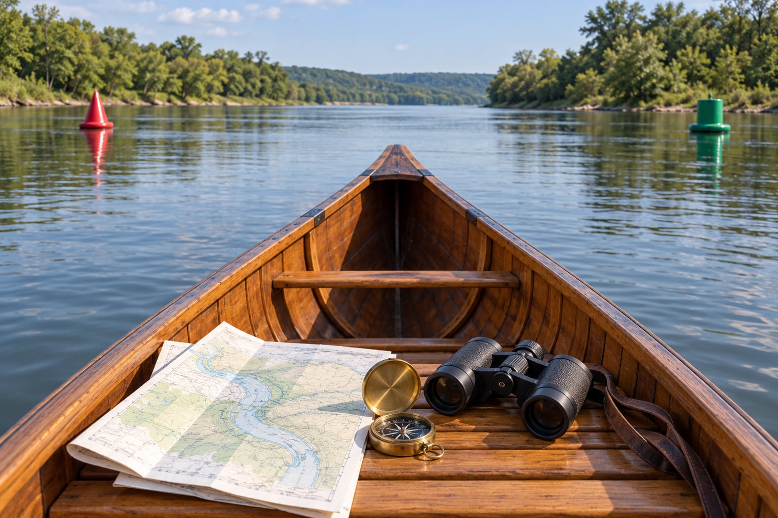
To read navigation markers on a river, you need three things: which system governs that waterway, what each marker’s color, shape and number is telling you, and which way your boat is pointed. On U.S. waters, red cone-shaped buoys with even numbers and green flat-topped buoys with odd numbers bracket the navigable channel, and you keep the red marker on your right when you are heading upstream. That one rule changes meaning the moment you turn around, and getting it backwards on a river is how people end up in the gravel shallows.
Stakes are higher on a river than on open water. A sandbar that would barely slow a jon boat can pin a canoe sideways, and markers exist because that stretch of water was surveyed for depth while everything around it was not. My rule is simple: the markers are a map you can see, so use them, and never treat one floating object as proof of where the channel goes.
Table of Contents
- What You Need
- Step-by-Step
- Start With the River’s Navigation System
- Identify the Main Channel
- Read Buoys, Beacons and Lateral Markers
- Interpret River Signs and Fixed Navigation Aids
- Confirm the Safe Route Before Passing a Marker
- Record the Markers and Recheck Your Position
- Common Mistakes
- Frequently Asked Questions
- What does a red buoy mean on a river?
- What does a green buoy mean on a river?
- Are river navigation markers the same everywhere?
- How do I know which side of the river is safe to travel?
- What should I do if a river marker is missing or damaged?
- Can I use a phone app instead of a river chart?
- Conclusion
What You Need
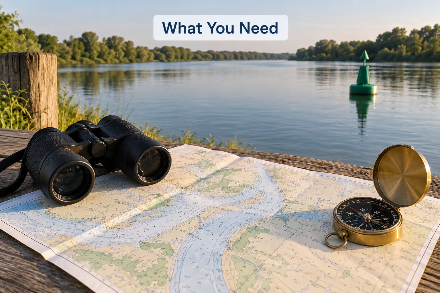
Start with a paper river chart or the equivalent state waterway map. NOAA charts cover the navigable rivers; many state and Corps-managed waters have their own map series, and those are the ones that will show you lateral buoys, river-mile boards and dam signs for your stretch. A phone alone is not enough, mostly because bars of reception end exactly where you would want it.
Binoculars help more than people expect on a wide river. At low water you are often looking at a marker a mile off, edge-on, behind a berm or a treeline, and a distant buoy is easier to separate from a branch or a fence post when you can zoom in. A compass or a GPS unit tells you which way you are actually facing, which matters because river bends make a straight line feel straight.
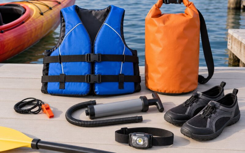
Bring the usual river safety kit too: a worn-in life jacket, a whistle, a light with a red strobe if you will be running near dusk, and something waterproof to write on. It is also worth pulling the local rules before you launch, since states add speed, no-wake and boating-pass restrictions on top of the federal marker system.
Step-by-Step
Start With the River’s Navigation System
River markers follow regional conventions, so find out which one governs your water before you interpret a single buoy. In the United States, the U.S. Coast Guard runs the standard system on federally navigable waters, and state agencies mark many inland stretches themselves. The vocabulary is the same; the layout is not always.
Two systems exist worldwide under the International Association of Lighthouse Authorities, and only one of them applies to U.S. rivers. Region B, which covers the Americas, puts red to port when you are returning from open water. Region A reverses that, so if you pick up a European or Asian boating guide and copy its side rules onto a Louisiana or Missouri channel, you will be steering into the shallows.
Identify the Main Channel
The main channel is the deepest continuous thread of water, and markers sit along its edges rather than in the middle. Look for the place where the current runs fastest and steadiest, where the banks are far apart, and where the water changes color from silty brown near shore to darker and smoother mid-stream. On a bend, the channel swings to the outside, so markers will appear to wrap around the far bank rather than run straight past you.
Cross-check what you see against the chart. A charted bend usually matches the bend you are actually looking at, and the distance between a pair of red and green marks tells you how wide the navigable channel is at that point. Where the marks converge or spread apart, that is information about the shoaling or deepening just as much as about the side to pass.
Read Buoys, Beacons and Lateral Markers
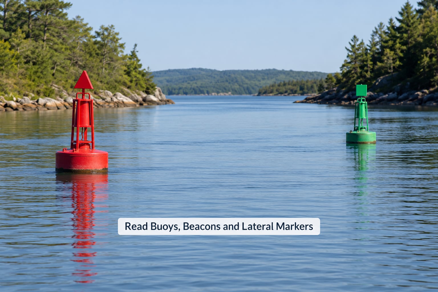
Lateral marks are the ones that bound the channel, and they come as a matched red-and-green pair. Red marks sit on the port side of the channel when you are facing upstream, and green marks sit on the starboard side. Shape carries the same message as color, which matters at dawn, in fog and in glare: red buoys are conical nuns, green buoys are flat-topped cans. Fixed beacons follow the same color and shape rules on a pole, so a red triangular plate on a steel tower means exactly what a red nun means.
Numbers reinforce it. Red marks carry even numbers and green marks carry odd numbers, and on most inland systems the numbers ascend as you travel upstream, which turns each pair into a mileage counter. When you see 42 on a red nun and 43 on a green can, you know where you are in the sequence, whether a marker you passed has already gone behind you, and roughly how far you have run.
Some other marker families show up on rivers. A safe water mark is red and white vertical stripes on a buoy or pole and marks the centerline of a well-defined channel. A special mark is entirely yellow and means you are at the edge of an area defined by something other than depth, such as a restricted zone or a pipeline crossing. Black and yellow marks with two cone-shaped topmarks are cardinals: cones both pointing up is north, both pointing down is south, cones meeting point to point is east, and cones sitting base to base is west. Nearly everyone who paddles has met those and squinted at them.
Treat lights as confirmation, not as the primary signal. A lighted red mark flashes red, a green one flashes green, a cardinal north mark flashes white while south flashes red and east flashes green, and the flash rhythm on some buoys distinguishes a steady channel marker from a special marking. Buoys also carry bells or whistles in fog. Reflection off water and paint still carries further than a small lamp, which is why most river buoys are marked for daylight first.
Interpret River Signs and Fixed Navigation Aids
Signs are the part people miss, and on a river they often carry the more serious information. A white sign with an orange diamond in the middle is a regulatory danger warning, and the word or symbol inside tells you what is ahead, such as a rock, a snag, a shallow bar, a dam or a rapid. A white sign with a black circle crossed by a slash marks a restricted area you may not enter, and a white diamond with a black border over a channel warns of a crossing situation.
Signs about speed and noise come on split rectangular panels, where one half applies inside the marked channel and the other half applies out in the shallower water outside it. The outside panel is usually a slower no-wake figure, which is a good clue that the water out there is not deep enough to take your wake. Near dams and locks you will also see dam warning signs, low-head dam signage and lock instruction panels, and those markers are placed at the exact spot where the wrong decision is fatal, not ten minutes earlier.
Mooring buoys are blue with a white band, emergency markers are orange with a white band, and private markers use letters or shapes that mean nothing to you. Anything you cannot classify is a reason to slow down and figure it out, not a reason to guess.
Confirm the Safe Route Before Passing a Marker
Before you commit to a gate between two marks, run a short check. Does the chart show a channel at this bend? Does the marker sit on the edge of fast, dark water rather than the pale, textured edge of a bar? Is the number on the green mark the next odd number up from the red one you just passed? Is your current, wind and visibility still within what you planned for?
Add the traffic and regulation check: is the reach you are entering one of the slow or no-wake stretches, and is anything large coming toward you in a bend where neither of you can see around the corner? On a river, a marker tells you where the channel is. It does not tell you whether your boat handles that water today, and the two questions are separate.
Record the Markers and Recheck Your Position
Write down the last pair of numbers you passed and the time. From there, the next expected pair becomes a checkpoint rather than a surprise, and you can tell the difference between a stretch where markers are simply spaced widely and a stretch where you have already lost them. On a phone, mark the channel in your mapping app as you go so the track you made and the channel you followed stay linked.
Then decide in advance what changes your route. Rising water, a falling bar, a marker on the wrong side of the channel or fog closing in are all good reasons to pull toward the bank you can reach. If you cannot identify the next marker for a mile, assume you are out of the channel and move to shallower, visible water until you can.
Common Mistakes
Assuming every river uses the same system. Region B red-to-port is right for U.S. waters, but state systems, district rules and international Region A guides differ. Fix: identify the governing system before you read the first buoy, not after you scrape a bar.
Using color alone. Red paint weathers, green looks brown in low light, and distance flattens everything. Fix: read shape first, then color, then number. Conical means red, flat-topped means green, and the number parity confirms both.
Applying red right returning without checking your direction. Returning from open water works fine on the coast and breaks down on a river where you may be running upstream, downstream or crossing to an island. Fix: red stays on your right when you are heading upstream and on your port side when you are heading downstream. The habit that actually sticks is staying between the channel markers and the nearest shore.
Treating a floating buoy as a fixed reference. Buoys swing on their chain, move in high water and drag anchor in high current. Fix: use the pair, not the single object. A red-and-green pair in the right sequence is a fact about the river; one buoy alone is a suggestion.
Ignoring signs because you are looking for buoys. The orange diamond sign for a rock, a shallow bar or a low-head dam is often the last warning you get. Fix: read every sign at the speed you can actually process it, and slow to a walk for dams, locks and rapids.
Reading the numbers as a distance guarantee. Number gaps vary by reach and by how densely a waterway is marked. Fix: treat numbers as sequence and progress, and use the chart or river-mile boards for distance.
Relying on a phone with no backup. Batteries die, screens glare in daylight, and signal ends at the far end of the reach. Fix: carry the paper chart, keep a waterproof note of marker numbers, and treat the phone as an addition.
Frequently Asked Questions
What does a red buoy mean on a river?
A red buoy marks the port side of the navigable channel when you are heading upstream. Red marks are cone-shaped, carry even numbers, and show a red light if they are lighted. Keep the red marker on your right going upstream and on your port side going downstream. Red also means hazard-boundary in general: water outside the pair of marks is shallower or obstructed.
What does a green buoy mean on a river?
A green buoy marks the starboard side of the navigable channel when you are heading upstream. Green marks are flat-topped cans, carry odd numbers, and show a green light when lighted. Read it as the opposite edge of the same channel the red buoy describes, and check that the two numbers match as a pair before you commit to the gate between them.
Are river navigation markers the same everywhere?
No. Most U.S. rivers follow the Coast Guard system, with red to port going upstream, but states mark some inland waters and regulated districts add their own signs and speed rules. The Region A system used in much of Europe and Asia reverses the red and green sides, so a guide written for those waters will steer you wrong here. Ask the local waterway office which set of rules applies to your reach.
How do I know which side of the river is safe to travel?
Travel between the channel markers, and let the marker tell you which side is which for your direction of travel. Confirm with the water itself: the channel is usually the deepest, darkest, smoothest flow, and the bar edges are pale, broken and shallow-sounding. Where markers are missing, stay in water you could paddle back from and move toward the bank you can reach.
What should I do if a river marker is missing or damaged?
Slow down, note the location and number of the marker that should be there, and assume the channel edge is unconfirmed until you match it to your chart. Note the time and your position, continue in water you can verify, and report the aid to the Coast Guard Light List or the state waterway agency when you get to a phone or a signal. Reporting helps the next boater more than guessing helps you.
Can I use a phone app instead of a river chart?
Use the app as a backup, not the primary source. Chart apps are excellent for overviewing a reach, marking your progress and reading water depth, but screens wash out in glare, batteries fail and reception drops in tree-lined bends. Carry a paper chart of the same waterway, keep a simple note of the marker numbers you passed, and confirm any spot where the two sources disagree.
Conclusion
If you take one action from this, learn the marker system that governs your specific river before you launch, then read each pair of red and green marks against the charted channel and the water in front of you. Confirm the side, note the numbers, and never pass a marker you have not checked. That habit, repeated for a few hours, is what keeps a trip boring in the way you want it to be.