You find public hunting land near you by starting with your state fish and wildlife agency’s hunting map, then using a public-lands map layer to separate government ground from private ground, and finally confirming a legal route actually reaches the parcel. Ownership on a map and access to that land are two different problems, and the second one is where most beginners get stuck.
For most of the western United States, that sounds almost too easy. Then you look at the ownership numbers: roughly 28% of U.S. land is federally owned, another 9% or so sits in state and local hands, and the balance is private. In some states the public share is far smaller. Missouri, for example, is about 93% privately owned.
What follows is the process I would hand a first-year hunter. It is seven steps, and the last three are the ones that keep you out of legal trouble.
Fast answer: the 7 steps
- Set a realistic search radius based on the species, season, daylight and your vehicle.
- Open your state fish and wildlife agency’s hunting map and find the official boundaries.
- Learn the land types you can hunt and which agency manages each one.
- Confirm access, road status, gates, boundaries and seasonal closures.
- Check licenses, permits, tag requirements, weapon rules and group limits.
- Scout from public roads, marked trails and access points without crossing onto private ground.
- Save the coordinates, the agency contact and at least one backup location before you travel.
Table of Contents
- What You Need Before You Look at Maps
- How to Find Public Hunting Land Near You: 7 Steps
- Step 1: Set Your Search Area and Season
- Step 2: Use Your State’s Official Public Land Maps
- Step 3: Learn How to Find Public Hunting Land by Land Type
- Step 4: Confirm Access, Boundaries and Closures
- Step 5: Check Licenses, Permits and Hunter Rules
- Step 6: Scout Without Crossing a Boundary
- Step 7: Save the Spot and Build a Backup Plan
- Common Mistakes and How to Fix Them
- Frequently Asked Questions
- Is public hunting land always free to use?
- Can I hunt on private land if the owner gives permission?
- How do I find the exact boundaries of a public hunting area?
- Do I need a special permit to hunt on national wildlife refuges?
- What should I bring when scouting a public hunting area?
- Conclusion: Start With Your State Agency Map
What You Need Before You Look at Maps
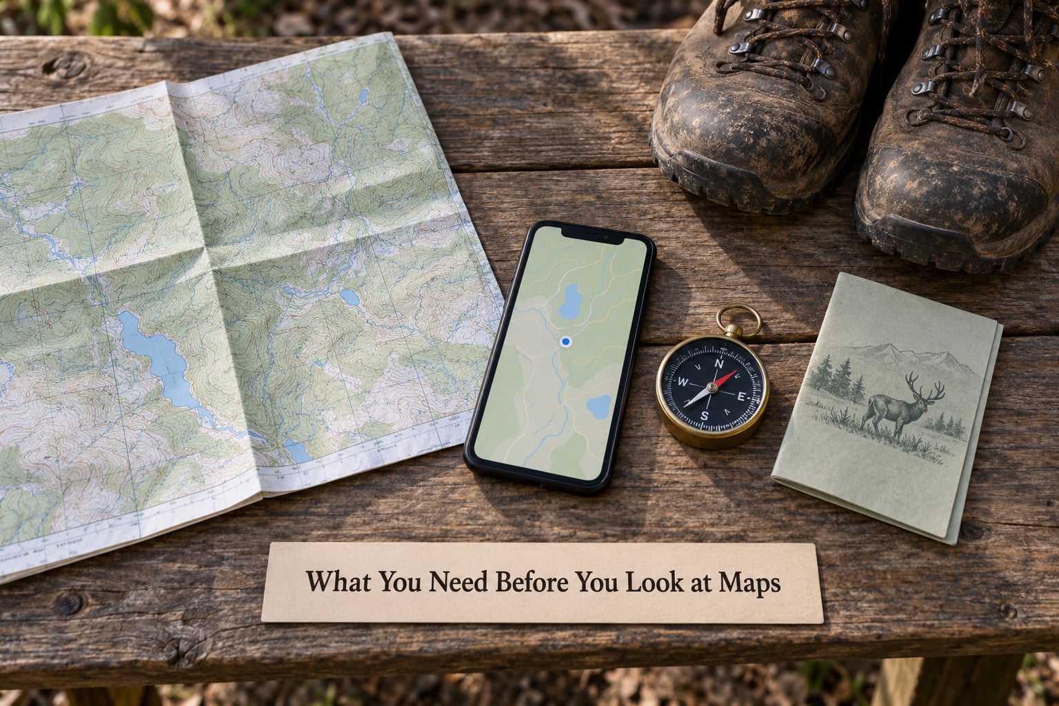
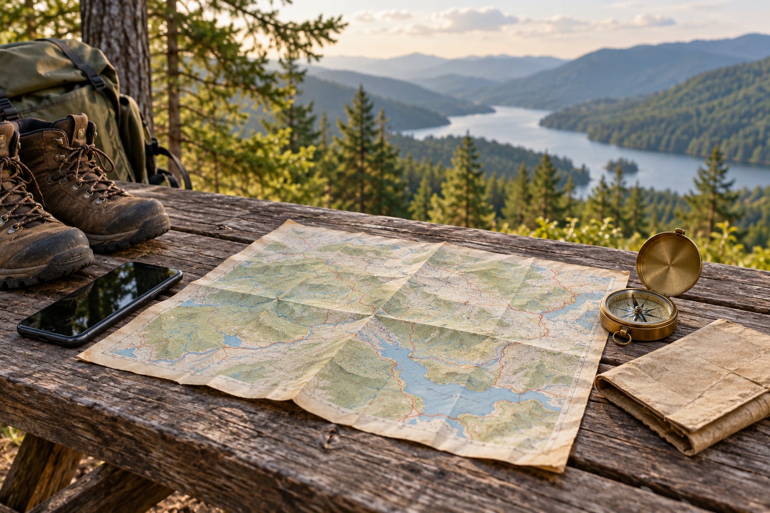
You need very little to start, and most beginners have all of it already. A phone with a map application and a working data connection covers the searching part. A paper map or a downloaded offline map layer covers the places where the signal ends, which in canyons and dense timber is more often than people expect.
- Phone or computer with your state wildlife agency’s hunting map bookmarked, plus a general mapping app for the satellite view.
- A current license and any required permits. You can find land before you buy them, but you cannot legally hunt without them.
- A compass or GPS unit as a backup. Phone batteries die in the cold and drain fast with the screen on brightness.
- Offline maps downloaded for the area before you leave signal.
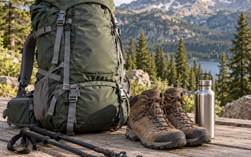
- Appropriate clothing and footwear for the terrain and the season, which in public-land country is often a longer walk than the map suggested.
- A vehicle, a bike, or a reliable ride to the access point. Public land without a road to it is a hike, not a hunt.
- Someone who knows where you are going and when you expect to be back.
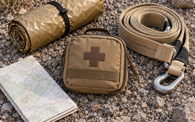
A paper map is worth more than it looks. If you are planning a trip into an unfamiliar state, print the agency map before you leave home and mark your access points, gate numbers and water sources on it.
How to Find Public Hunting Land Near You: 7 Steps
Step 1: Set Your Search Area and Season
Set a search radius you can actually drive on a Saturday morning, then narrow it by species and season. Deer season in a hill state is a different search than spring turkey season in the bottomlands, and the habitat that holds one may be useless for the other.
Work through the practical constraints before you fall in love with a parcel on a satellite image. How far is the nearest legal access point from your house, and is that road maintained in October? Does the parcel hold the cover and water the species needs? How many hours of daylight do you get, and how long is the walk in?
Most state agencies publish a hunting calendar and a map of unit boundaries for the season ahead. Read the calendar first, because the calendar tells you which map layer matters. Waterfowl hunters and deer hunters are often working completely different units.
Step 2: Use Your State’s Official Public Land Maps
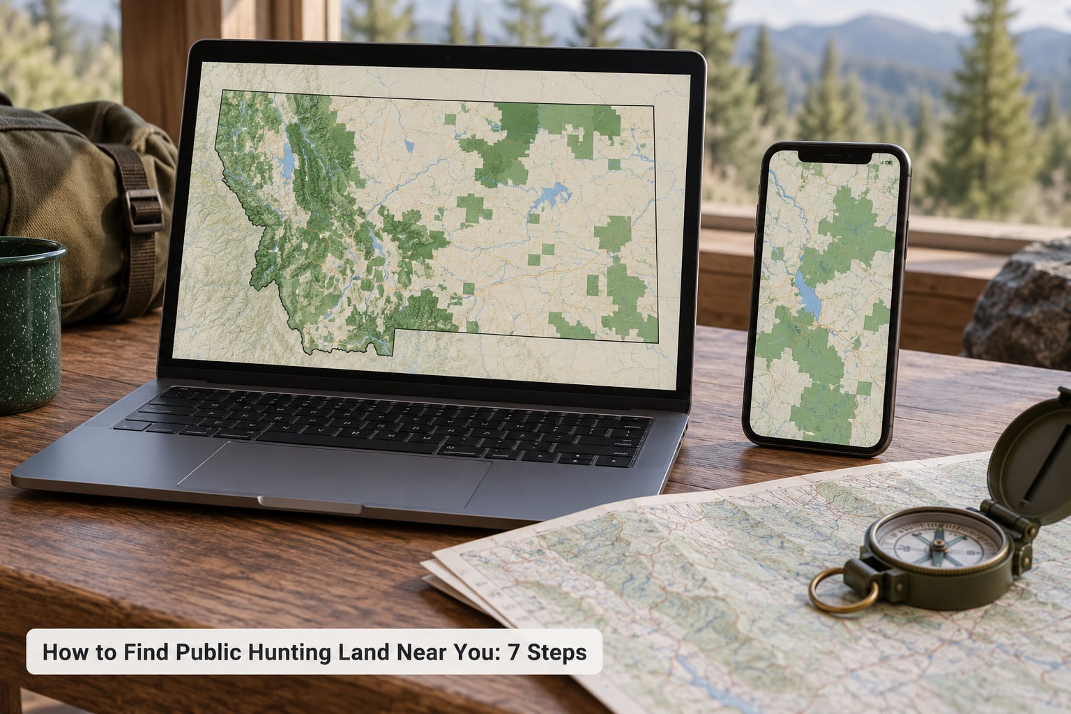
The fastest way to find public hunting land near you is the state fish and wildlife agency’s own online map, because it is the legal source of truth for boundaries, units and access. Commercial apps are convenient, but they are a convenience layer on top of the agency’s data, not a replacement for it.
Search for your state agency by name plus “hunting map” or “wildlife management areas.” Mississippi’s Department of Wildlife and Fisheries, for example, publishes a searchable WMA finder. Texas Parks and Wildlife runs a public hunting locator map that separates public sites from private ones. Virginia points hunters to its Explore the Wild tool. Wisconsin promotes a free state app, and hunters on the forums treat it as a model of what a public tool should be.
Many of these state portals cost nothing, and hunters consistently prefer them to paid subscriptions because the state owns the records. If you subscribe to a mapping app later, use it for satellite imagery, 3D terrain and offline downloads. Keep the agency map as the source for rules.
One field trick gets passed around constantly: in a satellite view, public land often shows as a solid green patch, then you search the name of that patch to find the managing agency. It is a decent first filter, but it is not proof. Green is not a land designation, and plenty of hunters have been burned trusting it.
Step 3: Learn How to Find Public Hunting Land by Land Type
Federal land comes from four agencies plus one more you will run into constantly, and each one writes its own hunting rules. The Bureau of Land Management, the U.S. Forest Service, the National Park Service and the U.S. Fish and Wildlife Service manage most federal ground, and the U.S. Army Corps of Engineers manages water-management lands around reservoirs.
Here is what you can hunt and where to get the map. Hunting rules change, so treat this table as a starting point and confirm the current regulations before you go.
| Land type | Managing agency | Hunting | Main restrictions | Where to get the map |
|---|---|---|---|---|
| National forest | U.S. Forest Service | Generally open to licensed hunters | Local ranger district rules, some closures, motor vehicle limits on designated routes | Ranger district office or the agency’s national forest map viewer |
| BLM public land | Bureau of Land Management | Generally open | Field office decisions, seasonal closures, wilderness travel limits | BLM national lands viewer and the state office |
| National wildlife refuge | U.S. Fish and Wildlife Service | Often open, sometimes by permit or lottery | Species-specific seasons, closed areas for wintering birds, some refuge-specific permits | Refuge website and the national refuge map layer |
| National park | National Park Service | Rarely open | Hunting is generally prohibited; special permits only where a park allows them | Park website and NPS maps |
| Wilderness area | Several federal agencies | Open unless closed | No motor vehicles, no mechanical equipment, no installing anything in the soil | Agency wilderness layer, shown on the same viewers |
| State park | State park agency | Varies widely by state | Some states restrict or prohibit hunting; firearms rules vary | State park system map and the state wildlife agency |
| Wildlife management area | State fish and wildlife agency | Open under state rules | Unit-specific seasons, gate schedules, some areas closed for the season | The state agency’s WMA online map, the single best starting point |
| State trust and state forest land | State natural resources agency | Open, some areas permit-only | Timber harvest closures, permit areas, archery-only zones | State natural resources department maps |
| Water management land | U.S. Army Corps of Engineers | Open in most project areas | Project-specific rules, water safety zones near dams and spillways | Project office and the Corps recreation map layer |
Naming trips people up more than the acreage does. The same idea is a WMA in Mississippi, an SRA in Michigan, a state forest in Pennsylvania, a state wildlife area in Texas, a management area in New York and a refuge in Louisiana. When you move states, search for the local term instead of the generic word public land.
Start with the state layer, then add the federal layer. In states like Montana, Wyoming, Idaho and Colorado, federal ground is a large share of the total and hunting on it is usually straightforward, which is why hunters there point friends to those regions for big-tract trips. In eastern states, the state layer is thin, and you will be working a handful of small units.
Step 4: Confirm Access, Boundaries and Closures
Confirm that a legal route reaches the parcel before you leave home, because a public parcel with no public access is landlocked and hunting it means trespassing. This is the single most cited frustration among hunters on the forums, and it is the step people skip most often.
On the map, trace the road all the way from a public highway to the parcel. Then check who owns the road the whole way. A gravel road that looks like it goes straight to your spot may be a private lane for the last half mile, and the person who put the map layer there was not worried about it.
Hunttalk has a thread that sums it up in its title: it is public land, but the public cannot reach it. Users describe parcels where a private landowner controls the only reasonable road, sometimes across several sections of checkerboard ownership.
Other things to check in the same pass:
- Whether the boundary is drawn as a straight survey line, a river or a marked section corner, and whether the line is actually on the ground.
- Gate codes and whether gates are seasonally closed. Many WMA gates are open in fall and shut for nesting season or fire prevention.
- Motor vehicle restrictions. A road can be legal to drive for a mile and then closed to vehicles, which turns your access into a long walk.
- Hunting closures for a specific hunt: doe season, turkey season, or a refuge closure over wintering waterfowl.
- Wilderness designation, which removes motorized travel and equipment placement.
Corner crossing is worth understanding, and it is not the same everywhere. In several states, walking across the corner where public and private ground meet to enter public land is explicitly legal, even though stepping onto the private ground is not. Other states have no such provision. Check your state’s rule before you plan on it, and treat private access as the default.
If you find a landlocked parcel and the access road is clearly signed as a public right-of-way, the situation may just need someone to report it. Hunters on the forums generally advise letting the state agency or the game warden handle it rather than arguing with a landowner at a gate. Agencies track these access problems, and a report with photos of the gate and a marked map is worth a phone call.
Easements are the other half of this. A legal easement or right-of-way is exactly what an access road needs, and many of the ones you use every season exist because an agency or a conservation group negotiated one years ago. When the map is ambiguous, a quick call to the district or field office answers it faster than a weekend of guessing.
Step 5: Check Licenses, Permits and Hunter Rules
Check your license, tag and permit requirements for the specific agency and unit before you travel, because each one adds its own layer on top of the state license. Your base license gets you licensed; the rest depends on where you are standing and what you are hunting.
The most common requirements to confirm:
- The state hunting license and the species tag, which are separate purchases in most states.
- A game management unit designation on your tag. The unit is the geographic area that sets seasons, bag limits and license availability, and it must match where you will be standing.
- Federal permits where required, such as refuge-specific hunting permits, and the limited-entry permit and draw in states with an allotment system.
- Weapon and ammunition rules that can differ from the state default at a refuge, on tribal land, or inside a wilderness area.
- Bait and baiting restrictions, which in several states are regulated by county or unit to prevent disease spread.
- Group limits on some state and federal ground.
- Firearm carriage rules on state park land, where some states still require an unloaded firearm cased in a vehicle.
Two questions are worth asking the state agency directly, because staff answer them every day and you will not find either in a search box. Where in this unit is the public seeing the most deer movement right now, and which access points are open this month. Biologists and wardens are also the fastest source on recent closures and damage from wildfire or logging.
Draw-based licenses change the timing of the whole trip. If you are heading into a state with an allotment system, the license lottery often happens months before the season, so a great parcel on a map means nothing if you are not drawn. Check the license calendar and draw odds for the specific unit before you plan around a spot.
Step 6: Scout Without Crossing a Boundary
Scout on public ground and from legal access points, and treat every unmarked fence line, gate and private road as a line you do not cross. The scouting you can do without stepping off public land is still substantial if you do it properly.
Start from the access point and read the terrain around it. Look for the food, water and cover triangle that game works, then work outward from each. A timber edge along a drainage, a south-facing grass opening between two ridges of conifers, and a spring or stock pond within a short walk is the combination you are looking for. Then look for bedding areas nearby, which are usually close to the good feed but out of the wind and away from the route animals use to reach it.
Read sign from the ground up. Fresh rubs and scrapes on trees, active trails cutting through switchbacks, droppings in the open, and a game trail that widens near a spring tell you more than a satellite image ever will. Where sign disappears, the animals moved. Find the funnel they used to get out of the pressure you can see from the road.
That leads to a genuinely useful tactic: map the places hunting is not allowed. Every private parcel with a no-hunt sign, every neighborhood and every golf course is a refuge. Animals pressured out of those places move toward the public ground, and the edges between them are where you want to be. This gets you away from the main access point, which also solves the crowding problem, because the crowds stack up within a few hundred yards of the parking area on a Saturday morning.
Two more things to sort out. The first is gear. Stands, tree stands, blind walls and trail cameras get stolen off public land often enough that hunters warn about it constantly, and leaving a permanent structure behind is regulated differently from state to state. Some states require registration for tree stands, and wilderness areas ban installation of anything. Check the rule for your area and assume you are taking everything home with you.
The second is what to do when you meet another hunter. Some states set a safe zone of fire near roads and trails, and the figure varies, so check yours. Beyond the legal minimum, the unwritten rule on crowded public ground is spacing, and most hunters aim for a couple hundred yards between hunting spots. Two hunters setting up within forty yards of each other is the fastest way to ruin a morning for everyone involved.
Step 7: Save the Spot and Build a Backup Plan
Save the location properly, because the information you collect is what separates a successful trip from a wasted weekend at a locked gate. Write down the coordinates, the parcel or unit name and number, the managing agency, the access point, and the date you verified the gate status.
Also record the details that will not show up on any map:
- The agency office or ranger district that manages the parcel, with a phone number, and the gate instructions or code if one applies.
- Parking rules, including whether you may park on a state highway, which is restricted in many states.
- The nearest legal camping location, since much public land is open to dispersed camping and some is not.
- Water sources, trailheads and the approximate walk time from the access point.
- Emergency services numbers for the county, and the nearest road with a reliable cell signal or a patrol station.
- Local emergency contacts, and a check-in person who has your plan and your return time.
Then pick a backup. If the primary parcel is a ninety-minute drive, having a second option inside a thirty-minute radius is what keeps a bad weather day or a closed gate from ruining a three-day weekend. Hunters who scout two areas before opening day are rarely disappointed.
For long trips into states you do not know, download the offline map for the whole area, not just the parcel, and put the agency’s office number in your phone in writing. Downloading the region also gives you the surrounding boundary detail, which is what you need if your access point falls on a state line.
Common Mistakes and How to Fix Them
Nearly every problem on public land comes from a map, so the fixes are mostly about how carefully you read one. Here are the mistakes hunters describe most often, with something concrete to do about each.
- Trusting a green patch on a satellite map. Fix: look up the parcel name in the state agency’s map viewer and confirm the owner. Green is a rendering choice, not a designation.
- Assuming a road is public because it is on the map. Fix: trace the road back to a public highway and check ownership of the last segment. Signs and gate hardware tell the truth where the map layer does not.
- Skipping permits and unit rules. Fix: read the current state hunting regulations for that unit before you leave, and confirm your tag matches the unit you plan to hunt.
- Ignoring seasonal closures. Fix: check the agency’s closure list for your dates. Refuges close for wintering birds, and forest roads close for fire season and snow.
- Confusing ownership with access. Fix: follow the access verification from Step 4 and assume nothing until you have traced a legal route to the parcel.
- Telling nobody where you are going. Fix: leave a written plan and a return time with someone, and carry a paper map with your route marked.
- Parking where the state says not to. Fix: read the state highway code before you go, and pull off onto public ground or a legal access road instead.
- Hunting an out-of-state area with the wrong state’s paperwork. Fix: sort the license and tag for that specific unit first, which is also where you find out whether the hunt is a draw.
One more that is not a legal problem but ruins trips anyway: scouting and hunting on the same weekend. Walk the ground during a week when the pressure is low, then come back for the weekend hunt. You will see animals the Saturday crowd never does.
Frequently Asked Questions
Is public hunting land always free to use?
Usually, yes. Public land generally has no land access fee, though some units use draw-based or limited-entry licenses that can carry an administrative fee, and a few state parks and refuges charge a vehicle or permit fee. You still need a valid state hunting license and the tags for the species and unit. Fees, lotteries and permit rules change from year to year, so check the current regulations for the specific agency and unit before you travel.
Can I hunt on private land if the owner gives permission?
Yes, with written permission. Ask the owner in person or in writing, confirm the exact parcel and the dates, and get permission for everyone in your group. Ask before the season, not the week of, and mention things you can do in return, such as fixing fence line or removing brush. If you want repeat access, many states offer walk-in access programs and block management programs that let you hunt with written consent.
How do I find the exact boundaries of a public hunting area?
Use the managing agency’s official map, which is the legal description: a state wildlife management area map, a national forest map, or a BLM field office map. The parcel name, unit code and legal description on that map are what you rely on. On the ground, look for the boundary features the map uses, such as section lines, monuments, tree blazes or water. A phone app boundary is a pointer to the record, not the record itself.
Do I need a special permit to hunt on national wildlife refuges?
Sometimes. Your state hunting license gets you started, but many refuges require a refuge-specific permit, and some hunts are limited-entry lotteries. Species rules also differ, including closed areas for wintering waterfowl and different season dates. Check the refuge’s own hunting page and brochure for the specific area, because a neighboring refuge can have entirely different rules for the same species.
What should I bring when scouting a public hunting area?
Bring your hunting license and any required permits, a paper map with the parcel and access route marked, a charged phone plus a battery pack, a compass or GPS unit, plenty of water, weather-appropriate layers, and a firearm with eye and ear protection. Tell someone your plan and your return time. On first visits, also bring gate codes or written gate instructions, and expect to walk further than the map implied.
Conclusion: Start With Your State Agency Map
Start with your state fish and wildlife agency’s hunting map, verify the exact parcel and the current rules for that unit, then save a backup location before you travel. Everything else, the apps, the satellite layers and the community spreadsheets, sits on top of those three things.
Public land hunting comes with one rule that never changes: if you cannot confirm the access, do not assume it. Trace the road, check the gate, read the closure list, and tell someone where you are going. Do that and the land is out there waiting for you.