Picking a campsite near a tidal river is an elevation decision, not a distance decision. Choose ground that sits safely above the highest water that river can reach at that spot, keep well back from an eroding bank, and confirm you are outside the flood zone before you pitch a tent. Most of that work takes an hour at your kitchen table.
Tides are what trip up beginners. A river that reverses direction twice a day can look calm and wide at low water, then cover ground that looked like a comfortable pitch. King tides and storm surge push the water higher still, and both are published days ahead. That predictability is the good news: an unwise site is entirely avoidable.
This guide walks through the checks in the order that matters, so you can read a tide table, read the land, and make the call before you are standing in the dark with a trailer pointed at a single-access road.
Tides, flood zones and rules differ at every site, so treat everything below as a method and verify the numbers for your own spot with the agency that manages it.
Table of Contents
- What You Need
- How to Pick a Campsite Near a Tidal River Step by Step
- 1. Define the Type of River Trip You Are Taking
- 2. Check Tides, Currents, and Water-Level Patterns
- 3. Confirm Access, Parking, and Launch Conditions
- 4. Inspect the Campsite for Stable, High Ground
- 5. Review Rules, Permits, Fires, and Wildlife Restrictions
- 6. Compare Weather, Bugs, and Comfort
- 7. Make a Low-Impact Reservation and Backup Plan
- Common Mistakes
- Pitching below the tide line because it looks far enough at low water
- Checking the weather but not the tide
- Assuming you can drive to the site
- Overlooking permits and stay limits
- Choosing flat, low ground because it is convenient
- Camping on the inside of a bend
- Treating the river as drinking water
- Arriving after dark with an incoming tide
- Frequently Asked Questions
- How far should a campsite be from a tidal river?
- Do tidal rivers make it unsafe to camp overnight?
- How do I choose a campsite that works with changing tides?
- Can I camp near a tidal river with dogs or children?
- Should I reserve a campsite before checking the tide chart?
- What should I do if rain or high water reaches my campsite?
What You Need
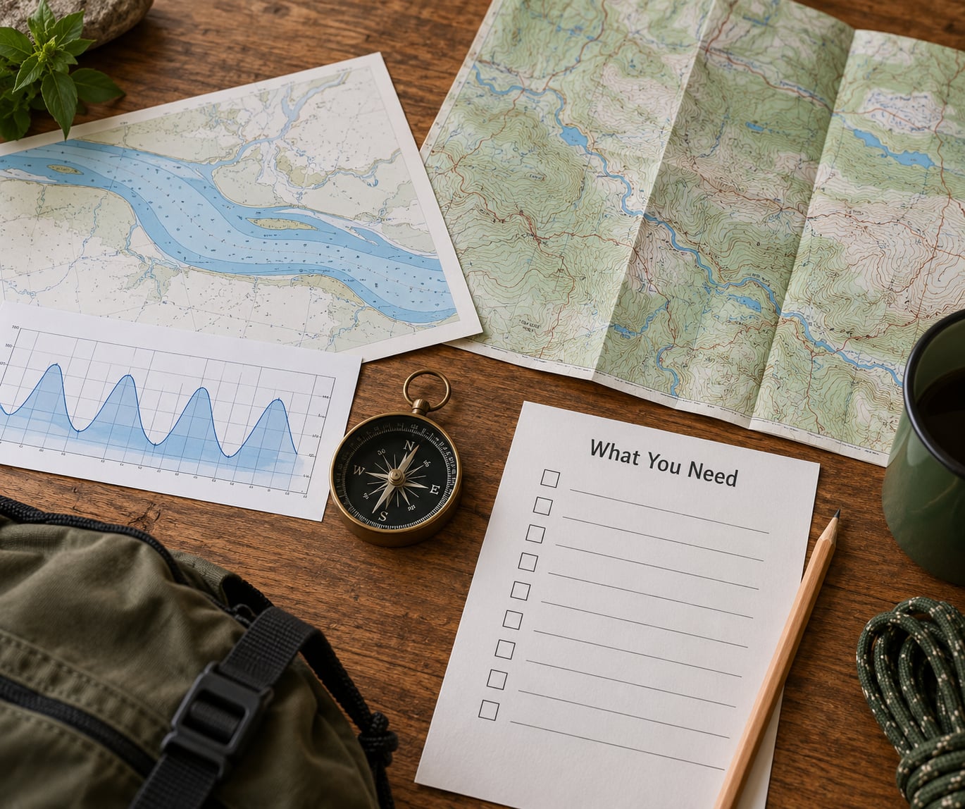
Gather these six items before you start comparing sites. Anything you cannot find for a candidate site is a reason to look elsewhere.
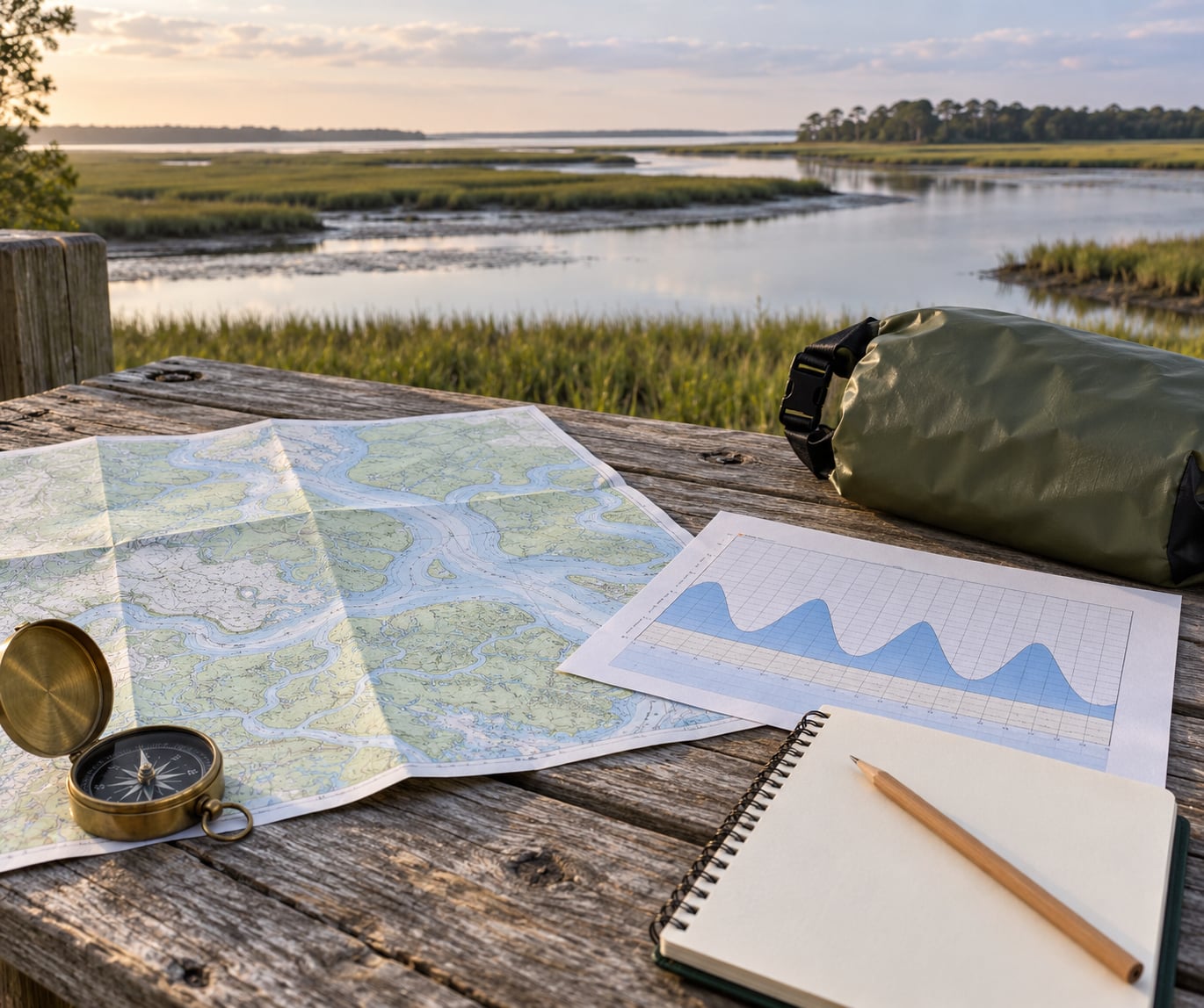
- The official tide table for the nearest reference station. Note the datum it uses, the time zone, and the predicted high-water heights for the nights you would be there. A table from a station 40 miles away is useful, but so is knowing how much the water level shifts between that station and your site.
- A topographic map or a mapping app with contour lines and property boundaries. You want to see slope, drainage channels, the line of the high-water mark, and where the public land ends.
- The local flood-zone map. Search your county flood map service or the national flood hazard layer. Look for the floodway and the 100-year floodplain boundary, not just the word “floodplain” on a listing.
- Regulations for the specific site. Camping limits in days, permit requirements, fire restrictions, food storage rules, and whether pets are allowed. Bookmark the ranger station or park office number.
- A short-range and a river-basin forecast. The National Weather Service point forecast covers your campsite; you also need the upstream basin forecast, because a river flood is usually made by rain somewhere else.
- Access details. Road surface, gate hours, whether the road washes out, where you can park, and how far it is from the parking area to the pitch if there is no drive-in site.
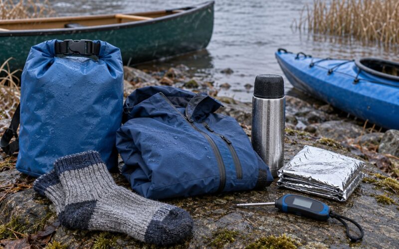
- Emergency kit and a plan. First aid kit, headlamp per person, whistle, satellite messenger or a charged phone plus a power bank, and a written plan left with someone at home.
Two optional items earn their keep if you have them: a tide app that works offline, and a simple inclinometer or phone compass for checking whether the ground actually slopes away from the water.
How to Pick a Campsite Near a Tidal River Step by Step
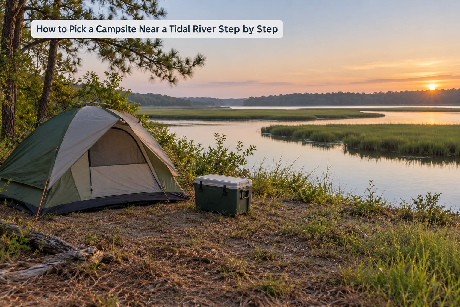
Work through these seven steps in order. Each one can disqualify a site on its own, and skipping ahead is how people end up pitching on the floodplain because it was the only flat, convenient ground.
1. Define the Type of River Trip You Are Taking
Decide what the site has to do before you judge it on looks. A kayak put-in needs cart access and a launch that stays usable across the tide range. A fishing camp needs stable bank and legal access to the water. A quiet week of sitting still cares about shade, privacy and cell coverage far more than river access.
Write the three features that would actually ruin your trip, in order. Then judge sites against that list instead of against a picture on a booking site. A site that is perfect for a family with two small children and terrible for a canoe trip is not a bad site, it is the wrong site.
2. Check Tides, Currents, and Water-Level Patterns
Read the tide table for the nights you would be there, not the average. Look at the predicted high-water height, the time of high water, and how long the tide spends above the height of the ground you are considering. Spring tides, the larger ones around the new and full moon, are the nights to be most generous with your buffer.
Use mean high water, the long-term average of the highest tides, as your elevation benchmark. Camping at least a metre or three feet above the mean high water line gives you room for a moderately high tide. For a site with a big tidal range, several metres of tidal rise, or a history of surge, plan for double that.
| Site conditions | Predicted high water above the ground | Minimum height above mean high water |
|---|---|---|
| Small tidal range, sheltered reach | Tide reaches the bank but not the pitch | 1 m / 3 ft |
| Moderate tidal range, open bank | Tide regularly covers the lower terrace | 2 m / 6 ft |
| Large tidal range or spring tides | Tide covers the whole lower flat | 3 m / 10 ft or move upslope |
| King tide or surge expected | Water exceeds the usual high-water mark | Above the surge forecast, or choose another site |
Watch the current too, not just the height. Tidal channels narrow and accelerate at the bends and at the mouths of sloughs. If you are swimming, fishing or wading with children, the inside of a bend and any narrow cut between banks are where the water pulls hardest. Campers on outdoor forums keep the same rule simple: check the tide, then get camp on high ground before you arrive.
3. Confirm Access, Parking, and Launch Conditions
Verify that you can physically reach the site with your gear, and that the route stays passable when the tide is against you. Many tidal-river campgrounds have a gate that closes when water covers the low section, which turns your arrival into a race.
- Ask the office what the road surface is like and whether it is paved, gravel or dirt.
- Find out the gate hours. If the gate closes at dusk and you finish work at five, you are camping in the dark, which is the worst condition for reading terrain.
- Check whether there is a single access road. One road means one failure mode, and if water covers it in the morning, your car is on the wrong side of the river.
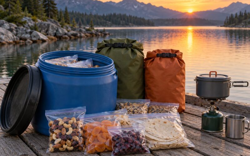
- For walk-in and dispersed sites, measure the carry. A quarter mile with a cooler and a tent is a very different trip than a quarter mile with a kayak cart and a full food load.
- For boats, confirm the launch is usable at the tide you will arrive on, not just at some point during the day.
4. Inspect the Campsite for Stable, High Ground
The signs of a workable site are easy to read once you know them. Look for ground that is firm underfoot and slightly sloped so water runs off rather than pooling. Avoid any pitch where you can push a stake more than a few inches into the ground, because that usually means saturated silt.
Then check the bank itself. An undercut bank is one where the water has eaten the base out from under the soil, leaving an overhang that can collapse without warning. Fresh blocks of bank material, a raw vertical face, exposed roots, or a line of driftwood piled above the current water level all point to active erosion. Do not put a tent or a fire ring within a couple of metres of an undercut edge, and never camp on the inside of a bend, where the current works hardest.
Walk the ground in the direction the water would come from and imagine it two metres higher than the biggest tide you found. If that water would reach your sleeping area, the site is not yours, regardless of how good it looks at low water.
5. Review Rules, Permits, Fires, and Wildlife Restrictions
Call or email the managing agency before you book, and ask four things. How many nights can you camp at one site, and does a permit apply to the area or only to a subset of it. Are fires allowed, and is a fire ban currently in force, which changes often in fire season. Where must you store food, and are there bear-resistant lockers on site. Are dogs allowed anywhere in the campground, and are they restricted on trails or at the water.
Ask about protected habitat at the same time. Salt marsh and tidal flat are small, fragile and heavily used by nesting birds. Some parks close specific sections during nesting season, and a campground that is open in the map can still have half its shoreline closed when you arrive.
Fishing and hunting rules are separate from camping rules, and seasons overlap in ways that surprise people. If you plan to fish, you need the licence for that state or region and an understanding of the closures near the site.
6. Compare Weather, Bugs, and Comfort
Check two forecasts, not one. The point forecast for your coordinates tells you about wind, temperature and thunderstorms. The basin forecast for the river upstream tells you whether the water is about to rise. National Weather Service flood warnings, or the equivalent national service in your country, are the ones that matter for a campsite, and a flood watch in the basin is a reason to change plans rather than monitor closely.
Brackish reaches and tidal marsh support a heavy mosquito population, and the bites arrive in calm, humid, still conditions. Bring repellent with one of the active ingredients that works where you are going, treat your gear and landing zone before you unpack, and consider a fan or a screened shelter. Wind matters just as much in a tidal setting, because an exposed bank gets nothing between you and a storm front off the estuary.
Comfort basics still apply: some afternoon shade, enough flat ground for a tent, and a pitch where water from the slope above you runs away instead of through your door. If you are arriving after dark, do all of this in daylight instead, by walking the site before you move the car.
7. Make a Low-Impact Reservation and Backup Plan
Book the site that passes the checks, not the one that is merely available. If two sites are similar, pick the one further from the water and the one closer to high ground, even if it is a shorter walk from the car. When the booking system shows only the last free pitch in the campground, that is a signal to widen the search rather than a reason to take it.
Plan the arrival around the tide. Aim to be at the site on a falling tide, so any water you meet while setting up is on the way out rather than on the way in.
Then leave a backup. Identify a second site with different exposure, note the gate hours for both, and pack so you can move in twenty minutes if the forecast turns. Tell someone your route, your site number or coordinates, and your expected return time.
At the site itself, keep the ground under and around the tent free of gear, store food in the required locker, and carry your rubbish out. A pitch you can leave looking untouched in an hour is usually a pitch you picked well, because you did not need the extra flat ground that everyone else needed.
Common Mistakes
These are the errors that show up again and again, usually in the same order. Each has a straightforward fix.
Pitching below the tide line because it looks far enough at low water
The distance you can see at low water tells you nothing about the height. Find the mean high water line on a map, add your buffer, and check the actual elevation of the pitch.
Checking the weather but not the tide
A calm, sunny forecast says nothing about the water level. Tide tables and flood warnings are separate products, and you need both before you leave home.
Assuming you can drive to the site
Riverfront sites are frequently walk-in, boat-access or seasonal, and the gravel track can be a soft sand trap after rain. Confirm the parking, the gate hours and the carry distance in writing before you pack the car.
Overlooking permits and stay limits
Many tidal stretches need a permit even when the campground itself does not, and stay limits are enforced at busy sites. A phone call to the ranger station saves a fine and, more usefully, tells you about the current fire ban.
Choosing flat, low ground because it is convenient
The flat ground at the bottom of a bank is the floodplain. Choose the slight rise with the slope draining away from the water, even if it means a longer walk from the car.
Camping on the inside of a bend
That is where the current cuts deepest and the bank is most likely to be undercut. Turn around and look for the outer bank or the upper terrace instead.
Treating the river as drinking water
Estuary and tidal water is brackish and often carries contamination from upstream. Bring your own, or use a filter or boil according to the local guidance for that reach.
Arriving after dark with an incoming tide
This is how people end up pitching in the dark on low ground while the water rises behind them. If you must arrive late, pick a site well above the tide, set up by torchlight on ground you already walked in daylight, and check the tide time first.
Frequently Asked Questions
How far should a campsite be from a tidal river?
Distance alone is a poor guide on a tidal river because the water returns twice a day. Use elevation instead: aim for at least a metre or three feet above the mean high water line, and two to three metres where the tidal range is large or surge is common. Keep every part of the camp, including the fire ring and the cooler, at that height, and stay well back from an undercut bank.
Do tidal rivers make it unsafe to camp overnight?
Not by themselves. A campsite above the mean high water line and outside the flood zone is a normal, safe place to sleep, and the daily rise and fall is predictable days in advance. The risk comes from being on low ground, from an eroding bank, or from rain upstream that pushes a flood down the river. Those three factors are all checkable before you arrive.
How do I choose a campsite that works with changing tides?
Read the tide table for your nights, find the predicted high-water heights, then compare them to the elevation of the pitch. Choose ground that stays dry at the highest predicted tide, and give extra margin around spring tides and king tides. Aim to arrive on a falling tide so setup happens on the way out, and confirm your exit road is not the low section that the tide covers.
Can I camp near a tidal river with dogs or children?
Yes, with more caution than a solo trip. Keep everyone away from the bank edge and from tidal channels, where the current is faster and deeper than it looks, and remember ripple currents can pull well away from the shore. Choose a site with a firm, level, elevated pad rather than a sloping bank. Check the site’s dog rules, and keep children within arm’s reach near the water at all times.
Should I reserve a campsite before checking the tide chart?
Check the tide chart first, then reserve. Tide tables are published far ahead and cost nothing, while good elevated sites are the ones that sell out. Look at the calendar, decide which nights work with a rising tide, and only then book. If the only pitch left is on low ground, wait for another date rather than book it and hope the weather stays calm.
What should I do if rain or high water reaches my campsite?
Move early, not at the last minute. Check the basin flood forecast and any official warning, wake everyone, and move vehicles and gear to higher ground before water reaches the road. Leave no rubbish, take photos only if it is safe, and never walk or drive through moving water to retrieve gear. Once you are on high ground, call the local emergency number if anyone is missing or unwell.
Start with three things before you look at any campsite listing: pull the tide table for the nights you plan, check the flood-zone map for the parcel, and phone the office about access, stay limits and the current fire ban. Then walk the ground on arrival, well before dark, and pitch above the high-water mark. Everything else on this page is detail; those three checks are what keep the trip dry.