OnX style map apps stack land ownership, agency boundaries, and trail information on top of satellite and topographic imagery, so you can see exactly where public land begins before you turn down the gravel. Nearly all the work happens at your kitchen table: about half an hour of preparation, then five short steps in the field. The hard part is not reading the map, it is deciding what to do when the map and the real world disagree.
One thing worth sorting out early: onX Hunt, onX Offroad, and onX Backcountry are separate apps with different land layers bundled in, not one app with different themes. Everything below applies to all three, since the ownership and offline tools are shared. Whichever you use, the sequence for how to use onX style maps for public land is the same.
Table of Contents
- What You Need
- Step-by-Step
- How to use OnX style maps for public land before you leave
- How to set the map scale and inspect the terrain
- How to follow a route and confirm your location
- How to check public-land boundaries and access points
- How to handle poor reception and map uncertainty
- Common Mistakes
- Frequently Asked Questions
- Can I use OnX style maps without cell service?
- How accurate are OnX style maps for public-land boundaries?
- What is the difference between public land and a private boundary shown on a map?
- Should I follow a recorded track or create a new route in the app?
- How do I download maps for an area with no reception?
- What should I do if my phone battery dies while navigating public land?
- Conclusion
What You Need
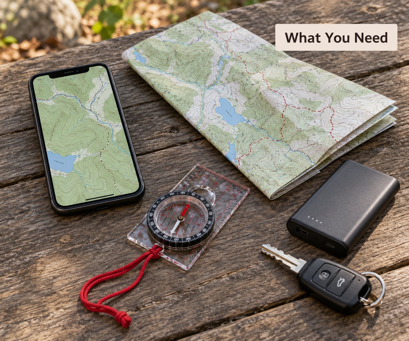
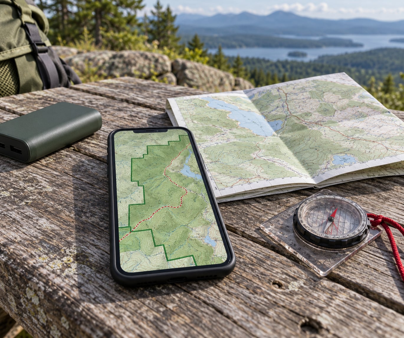
A phone with GPS and room to store tiles. Any recent iPhone or Android handset runs these apps, and the GPS chip gives you a position with zero bars of service. Storage is the only real constraint, so clear a few gigabytes before you download.
Downloaded map areas. This is the part everyone forgets. The map itself, the ownership overlay, and your saved waypoints all need to be pulled down while you still have service.
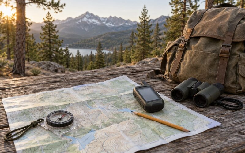
A compass and a paper map. A baseplate compass and the official BLM 1:100,000 quad for your area, folded and in a waterproof sleeve. One hunter on hunttalk put it plainly: paper quads stay the most common recommendation alongside the app, and nobody has ever regretted carrying one.
Agency information for where you are going. The Motor Vehicle Use Map (MVUM) for the Bureau of Land Management (BLM) field office or the Motorized Travel Map for the U.S. Forest Service (USFS) district, plus any current closure or fire order. The app can show you a road; the MVUM tells you whether you are allowed on it.
A power source that is not your phone. A small power bank in a jacket pocket. Cold drains batteries faster than people expect, and a phone that dies at dusk is a different problem than a phone that dies at noon.
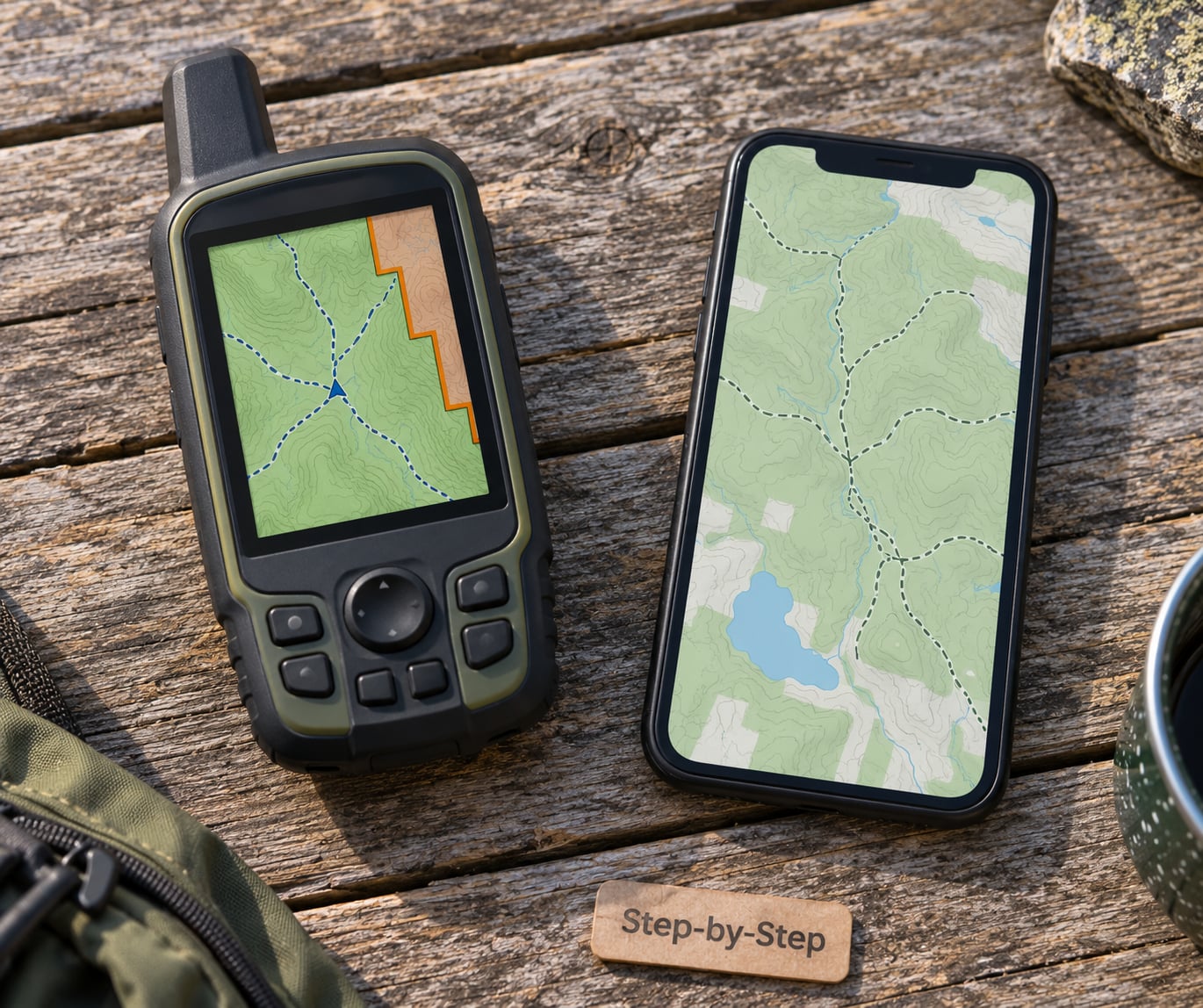
Optional: a dedicated GPS handheld. Several people run both a Garmin with preloaded maps and a phone. It is redundancy, not a requirement, and it matters most on trips where missing a turn has real consequences.
Step-by-Step
How to use OnX style maps for public land before you leave
Search the name of the place you are headed to, then zoom out until you can see the whole management unit rather than a single ridge. You are looking for the shape of the public land block and what surrounds it, because a parcel of U.S. Forest Service land wedged between two ranches changes what you can do on either side of the line.
Download that area for offline use, choosing a zoom level detailed enough to cover the ground you will actually walk. Then read the access rules for the specific agency, and save the handful of points you will need at the end of the day: parking, the trailhead, any water access, the camp spot you scouted, and the corner where the boundary turns.
Confirmation looks like this: you can put the phone in airplane mode, reopen the map, and still see the ownership tint, the trail, and your waypoints. If any of that disappears, the download is incomplete.
How to set the map scale and inspect the terrain
Zoomed out, the map answers where you are and what surrounds you. Zoomed in, it answers what is underfoot. Work in both, and switch between the topographic layer and the satellite layer, because they fail differently: the topo layer shows contour spacing and drainage, the satellite layer shows actual ground cover, dead ends, and work roads.
Read the terrain, do not just look at it. Contour lines bunching together mean a steep slope you will regret climbing at dusk. Widely spaced contours mean a bench or flat that is worth camping on. Contour lines shaped like a V pointing uphill mark a drainage, and the same V pointing downhill is a ridge. A break in a ridge where trails converge is a saddle, and those are the natural places to lose the route if you stop paying attention.
The 3D terrain view and elevation shading are worth ten minutes of your preparation time. They turn a flat line drawing into something you can picture, which is the difference between remembering an instruction and following it.
How to follow a route and confirm your location
Start recording your track before you take the first step. The track line is a record of where you actually went, and it is what you compare against your plan at the end of the day.
Confirm your position at landmarks rather than on a timer. When you cross a creek, pass a junction, or hit a ridge you can identify from the map, check that the dot matches the feature. A mismatch means one of three things: the GPS is settling, you are off the line, or the trail on the map is not the trail under your boots.
Use the compass bearing the app displays to sanity-check direction. If the map says the trail runs northeast and the bearing reads southwest, do not assume the phone knows which way you are facing. The bearing arrow is a tool for catching disagreement, not a substitute for reading the map.
How to check public-land boundaries and access points
Understand what the ownership overlay is before you trust it. The parcel data comes from public county and state tax records that have been converted into GIS layers, which is a useful clue about both its strengths and its limits. It is good enough to plan a route around. It is not good enough to stand on.
Compare the boundary the app draws with the official agency map before you commit to a line of travel. If they disagree, the agency map wins, and a phone call to the local BLM or USFS office settles it in a minute. That call is the single highest-value habit in this whole process.
Treat every road and shoreline as unverified until you have seen a sign. One angler on ifish.net described repeatedly finding that the app showed a road running through private land where, on arrival, no road existed at all. Legal access usually exists at a specific point, not along the whole road you can see.
How to handle poor reception and map uncertainty
Once the tiles are downloaded, service stops mattering. The failure modes to plan for are a dead phone, a wet screen, and a route that is not going as planned.
If the app crashes or the phone dies, stop, get your compass and paper quad out, and re-establish position from terrain. Find a high point or an open view, take a bearing, and walk to a feature you can identify on paper. Work in short legs and re-check often rather than committing to a long line on a guess.
Set a turnaround rule before you leave: the time you will start back regardless of how far you have got, and the light you will not push past. Having the number decided in advance is what makes it possible to turn around at 3 p.m. without a negotiation with yourself.
Common Mistakes
Treating the blue dot as proof of position. A dot in tree cover, in a canyon, or next to a rock wall can be 50 yards off. Fix: wait for the position to settle, step into the open, and confirm against a landmark.
Assuming public land is one color, or one thing. BLM, U.S. Forest Service, National Park Service, National Wildlife Refuge, and state trust land all look like public land on a map and all have different rules. Fix: identify the managing agency before you plan, not after you arrive.
Skipping the download. This is the most common failure, and it always happens in the same place: a drainage with no bars. Fix: put the phone in airplane mode at home and confirm the map still loads.
Ignoring seasonal closures. Fire restrictions, seasonal road closures, and wildlife closures override everything the map shows. Fix: check the agency closure order for the dates you will be there.
Treating a planned route as a guarantee. A recorded track is a track someone walked once, on one date, in one condition. Fix: build in a bail-out, and know where water is.
Believing every drawn road exists. Fix: treat roads as unverified, confirm with the MVUM for legal status, and expect abandoned tracks to show as passable.
Leaving every layer switched on. Users regularly complain the map turns into noise. Fix: run two or three layers at a time, and turn satellite off when you need to read contours.
Relying on a shared link to a spot. A pin sent by a friend is a starting point, not an access point. Fix: call the office or check the agency’s own map before you load the truck.
Frequently Asked Questions
Can I use OnX style maps without cell service?
Yes, as long as you download the area first. Once the map tiles, ownership overlay, and your saved waypoints are stored on the phone, the app works with the radio off, because your position comes from the GPS chip in the phone, not from the cell network. Test it before you leave by switching to airplane mode and reopening the map. If the ground detail or the property lines vanish, the download was incomplete.
How accurate are OnX style maps for public-land boundaries?
Good enough for planning, not good enough to stand on. Parcel boundaries come from public county and state tax records that have been converted into GIS layers, so accuracy and coverage vary by state. Expect a line to be close in incorporated areas and rougher in remote country. For anything that matters, like a boundary crossing or a camp near a corner, check the official agency map or call the local office.
What is the difference between public land and a private boundary shown on a map?
Public land is managed by a government agency, either the Bureau of Land Management, the U.S. Forest Service, the National Park Service, a refuge, or a state agency. The private boundary is the edge of a privately owned parcel, usually a ranch or timber tract, where you need permission. In the field, signs, fences, and gates control, not the map, and crossing a boundary line without permission is trespass regardless of what the app showed.
Should I follow a recorded track or create a new route in the app?
Follow a recorded track when one exists and was made under conditions close to yours. Someone who walked it in spring with a different vehicle tells you little about October. Create a new route when the track wanders, or when you want a line back to a road you drove in on. Either way, record your own track as you travel, because that is what you will use to get home and what you will study later.
How do I download maps for an area with no reception?
You cannot download in the field, so the download has to happen beforehand. At home or at a bar with signal, search the place name, zoom out to the whole management unit, open the download or offline option, and pick the size and zoom level that covers the ground you will cover. Finish it, put the phone in airplane mode, and confirm the map and ownership overlay still render before you leave the parking lot.
What should I do if my phone battery dies while navigating public land?
Stop where you are and switch to the backup kit, which is why you carried it. Use the baseplate compass and the paper quad to identify a feature, then work in short legs toward a known point such as a road, a lake, or a ridge you named on the way in. If you have a handheld with preloaded maps, use it. Tell someone your plan and your turnaround time, and do not extend the day to finish a route you cannot verify.
Conclusion
Do the preparation tonight, not on the trail. Find the management unit, download it, read the access rules for that agency, and mark parking, water, and your camp. Test the whole thing in airplane mode so the first surprise is not a blank screen at the trailhead.
Then treat the map as a strong hint rather than a verdict. Confirm boundaries with the agency, confirm your position against terrain, and carry the paper quad anyway. That habit, more than any app or plan, is what keeps a good trip legal and gets you back to the truck.