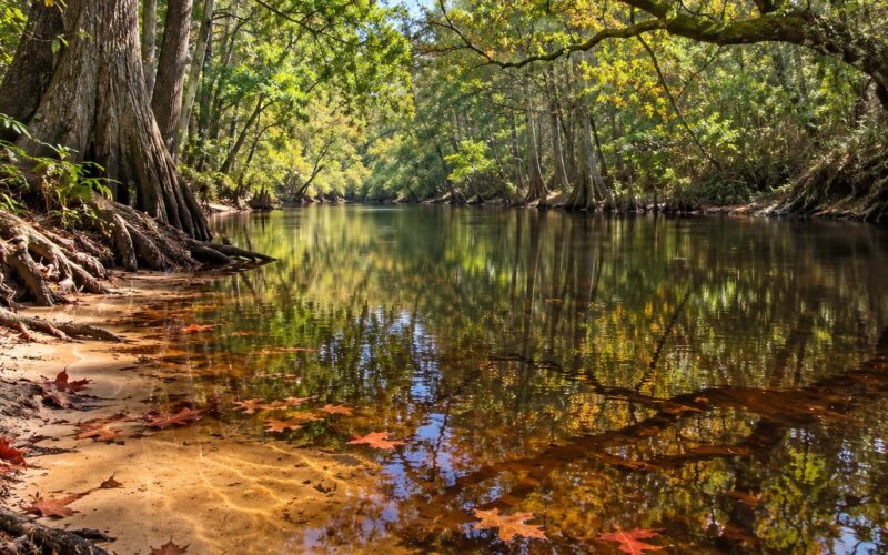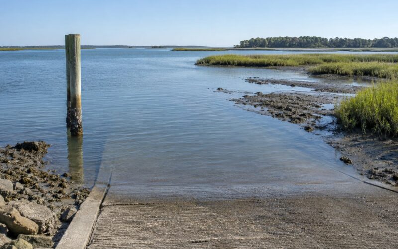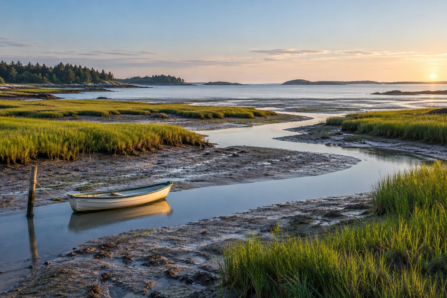
Tides shape a coastal estuary by moving water, sediment and salt in and out of it twice a day. Every cycle drives a flood current inland and an ebb current back to sea, and the volume of water that passes a given point is called the tidal prism. Repeated day after day, that flow scours channels in energetic spots, drops mud and sand in quiet ones, and slowly builds the tidal flats and salt marsh you walk on at low water.
If you paddle, fish, hunt or bird the coast, this is not academic. The same creek can be a walkable path at 6 a.m. and an impassable channel by 9. I’ll walk through the mechanism first, then the practical part, so you can look at a tide table and know what you will actually find when you get there.
Table of Contents
- How Tides Shape a Coastal Estuary
- What Creates Tides in a Coastal Estuary?
- How Tides Move Through an Estuary
- What Happens at Each Stage of the Tidal Cycle?
- How Tides Change Water, Sediment, and Salinity
- How Tides Shape Estuary Habitats
- How Tides Shape a Coastal Estuary Over a Full Cycle
- Why Do Local Tide Times and Heights Differ?
- How to Use Tide Predictions for Outdoor Recreation
- Frequently Asked Questions
- What time is high tide in an estuary?
- Why does the tide arrive later at an inland creek or harbor?
- Is it safe to paddle or wade during a changing tide?
- Do wind and storms affect estuary tide predictions?
- Why do some estuaries have low salinity while others are very salty?
- How can tides help anglers and birders?
- Conclusion
How Tides Shape a Coastal Estuary
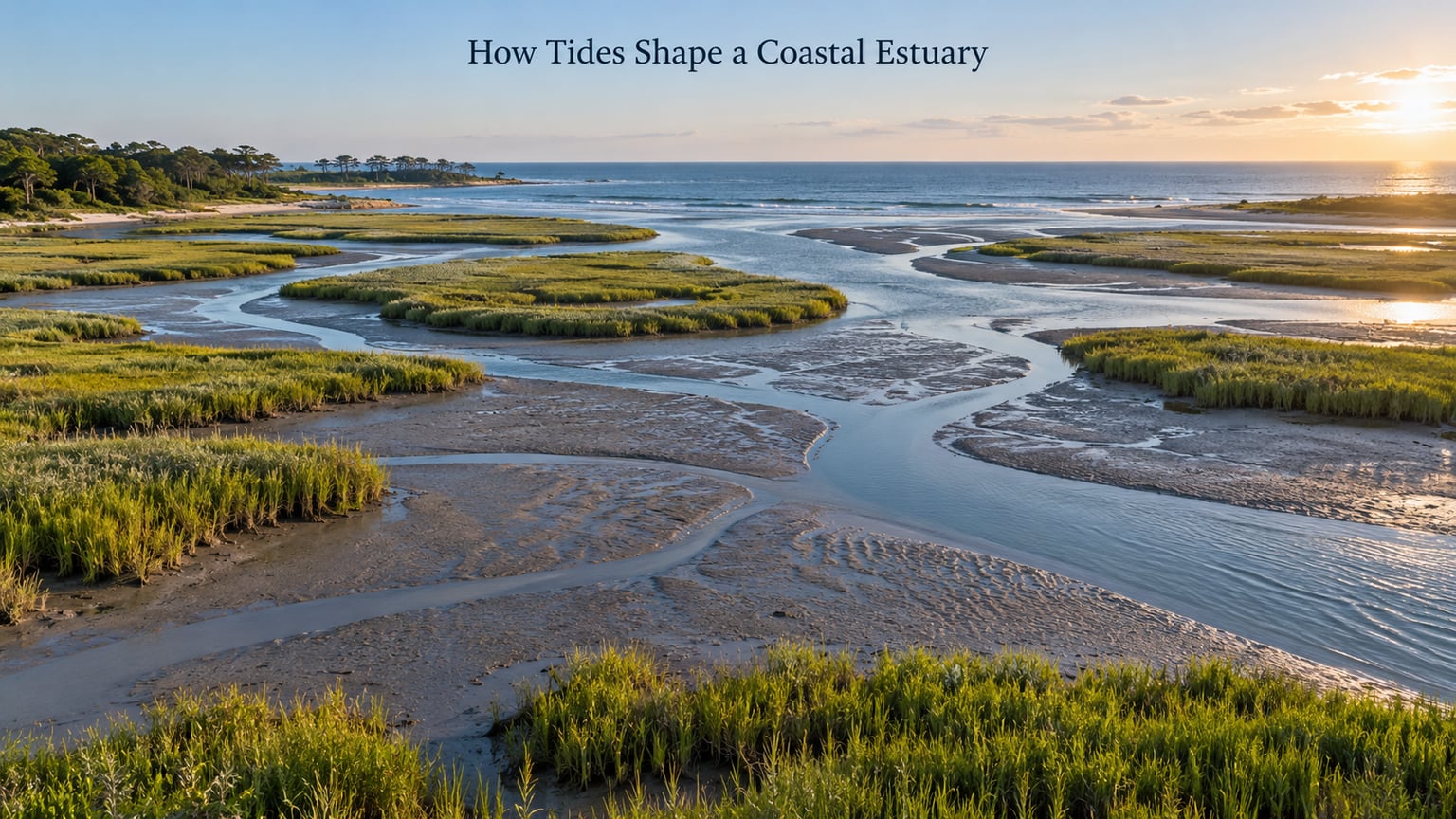
An estuary is a partly enclosed body of water where fresh river water mixes with salt water from the sea, and tides are its dominant shaping force. Each cycle moves a tidal prism of water past every cross-section of the basin. The current that carries it scours channels and resuspends sediment on the flood; the slack that follows lets that sediment settle, and the ebb sweeps some of it seaward.
Because the water level swings vertically by several feet twice a day, the intertidal zone is alternately underwater and dry. Plants and animals that survive there are built for that swing. In short, water and sediment movement sets the estuary’s shape, and the shape sets everything else.
What Creates Tides in a Coastal Estuary?
The astronomical tide comes from gravity. The moon’s pull raises a bulge of water on the side of Earth facing it, and a second bulge on the far side, where the moon’s pull is weaker than Earth’s own pull pulling water inward. As Earth rotates, a given coastline passes through two bulges a day, which is the semidiurnal cycle most coasts follow.
The sun contributes too, and when the sun, moon and Earth line up at new and full moon their pulls reinforce each other. Those spring tides produce the biggest range between high and low water. When the sun and moon sit at right angles to each other, the pulls partly cancel and you get neap tides with a much smaller range.
None of that is the whole local picture. Wind, atmospheric pressure, river discharge, storms and the shape of the basin itself all bend the predicted curve. Astronomical tides are the metronome. Everything else is the musician trying to play off it.
How Tides Move Through an Estuary
A flood tide starts when water at the ocean inlet begins to climb faster than the water inside, pushing a wedge of seawater inland and up the estuary. Current strengthens for several hours. Near high water the difference in level drops to almost nothing, current falls to near zero, and you get slack water.
Then the ebb begins. Water that piled up high inside now runs back out through the inlet, and that outflow is usually stronger than the flood because the falling tide is reinforced by gravity down the estuary’s slope. Peak current in both directions arrives around mid-tide, not at high or low water.
Water also takes time to travel. High water reaches the mouth of an estuary hours before it reaches a creek three miles inland, and that delay is called tidal lag or phase lag. It matters when you are trying to line a trip up with a table: the time printed for the inlet is not the time at your landing.
Constrictions concentrate flow. Where a wide basin necks into a narrow channel, current speeds up and eddies spin off the banks. Creek mouths are the classic case, which is exactly where anglers like to fish and where small boats have trouble holding a line.
What Happens at Each Stage of the Tidal Cycle?
| Stage | Water level | Current | What is exposed or reachable |
|---|---|---|---|
| Low tide | Lowest; flats and marsh platform dry | Falling then slack | Tidal flats, mudflat edges, creek beds, shellfish beds; wading possible in sheltered spots |
| Rising tide (flood) | Rising through the tidal range | Building inland | Flats submerge first, then marsh creeks; fish move in from deeper water; wading gets harder fast |
| High tide | Highest; marsh platform flooded | Slack | Full channels for small boats; marshes unreachable on foot; shoreline access only at boat ramps |
| Falling tide (ebb) | Draining | Strongest, usually seaward | Channels still deep mid-ebb; flats re-emerge in the last hour or two; good for drifting back to a launch |
How Tides Change Water, Sediment, and Salinity
Sediment moves in both directions and it does not travel far. Once the current picks up enough speed to overcome the friction holding mud to the bed, grains lift into the water. That threshold is lower inside a marsh creek than in a deep main channel, so the creeks erode easily while the channel floor stays put.
Where the current slows down and then stops, the load drops. Slack water at the turn of the tide is prime deposition time, and sheltered spots behind a marsh edge or inside a bend collect the finest material. Over years that mud builds the flats and raises the marsh platform. Where water keeps moving, the same flow keeps stripping material away instead. Both outcomes are tidal, and which one you get depends on how much water passes and how fast.
Salinity follows the same rhythm. Seawater is denser than fresh water, so where river flow is weak the saltier water slides in along the bed as a bottom layer while fresher water rides on top. That two-layer arrangement is estuarine circulation, and it traps sediment and nutrients inside the estuary rather than flushing them to sea.
When rivers run hard after rain, fresh water pushes the salt front seaward and the upper estuary can be nearly fresh. In drought the opposite happens: the salt wedge creeps upstream, sometimes several miles, pushing estuarine species out of the freshwater reaches they depend on for part of the year. Estuaries where river flow dominates stay fresh; ocean-dominated ones run nearly marine from mouth to head.
How Tides Shape Estuary Habitats
The daily uncovering and covering of the intertidal zone is not empty time. Exposed flats expose worms, clams and small crustaceans to birds that cannot reach them underwater. The return of the water brings small fish and shrimp into the creeks to feed, and larger fish follow them in.
Salt marsh plants handle the daily immersion. They trap sediment when the tide comes in, which raises the platform, and that higher ground extends the plant’s root and oxygen access. Where a marsh edge sits low, the water arrives first; where it sits high, the marsh floods only on the biggest tides. That vertical position is the whole ballgame for marsh survival.
For people, the same cycle opens and closes access. Hunters reach grass shrimp and crabs on a drained creek at low water. Anglers work the drop-off at the mouth of a creek on the flood, when the current brings bait to it. Birders hit the flats an hour or two before low water for the best picking. Handlers and paddlers have a shrinking window on the way back, because the ebb is faster than the flood.
How Tides Shape a Coastal Estuary Over a Full Cycle
Picture one spring day in a small tidal creek system. At low water the creek bed is exposed, mud is firm enough to walk, and you can see the channel meander across the flat. An hour into the flood the flats are under water, the creek is running fast, and wading is no longer practical. At mid-flood the current is at its strongest and small boats can move along the marsh edge.
Slack water arrives with high water. Everything goes quiet, the marsh is fully flooded, and the sediment that was in suspension settles onto the platform. Then the ebb starts and the creek drains, carrying loosened mud back out and re-exposing the flats. By the time you reach low water again roughly twelve and a half hours later, the pattern has repeated and the channel will have shifted a little somewhere. Do that a few thousand times and you get an estuary.
Why Do Local Tide Times and Heights Differ?
A tide table is a prediction for one specific location, and it is not transferable. Two towns a few miles apart along a straight coast can be close in agreement, but add an inlet, a shallow bay or a funnel-shaped river valley and the timing and height both change. The tide has to travel, bend and sometimes amplify as it moves inland.
Range also depends on shape. A funnel-shaped, drowned river valley narrows and deepens toward the head, which concentrates the incoming water and produces a larger tidal range at the inland end. A broad, shallow, bar-built estuary with a restrictive mouth often shows a smaller range and more of a lag between mouth and head.
Then the weather moves the needle. Strong onshore wind piles water against the coast and pushes the high tide higher and later; offshore wind flattens it. Low atmospheric pressure raises water, and a fast-moving storm sweeping across the shelf can stack surge on top of an already high astronomical tide, which is when an estuary floods its marsh instead of just covering it. Heavy rain adds river water on top of that. Check the official table for the prediction and the forecast for the deviation, because those are two different pieces of information.
How to Use Tide Predictions for Outdoor Recreation
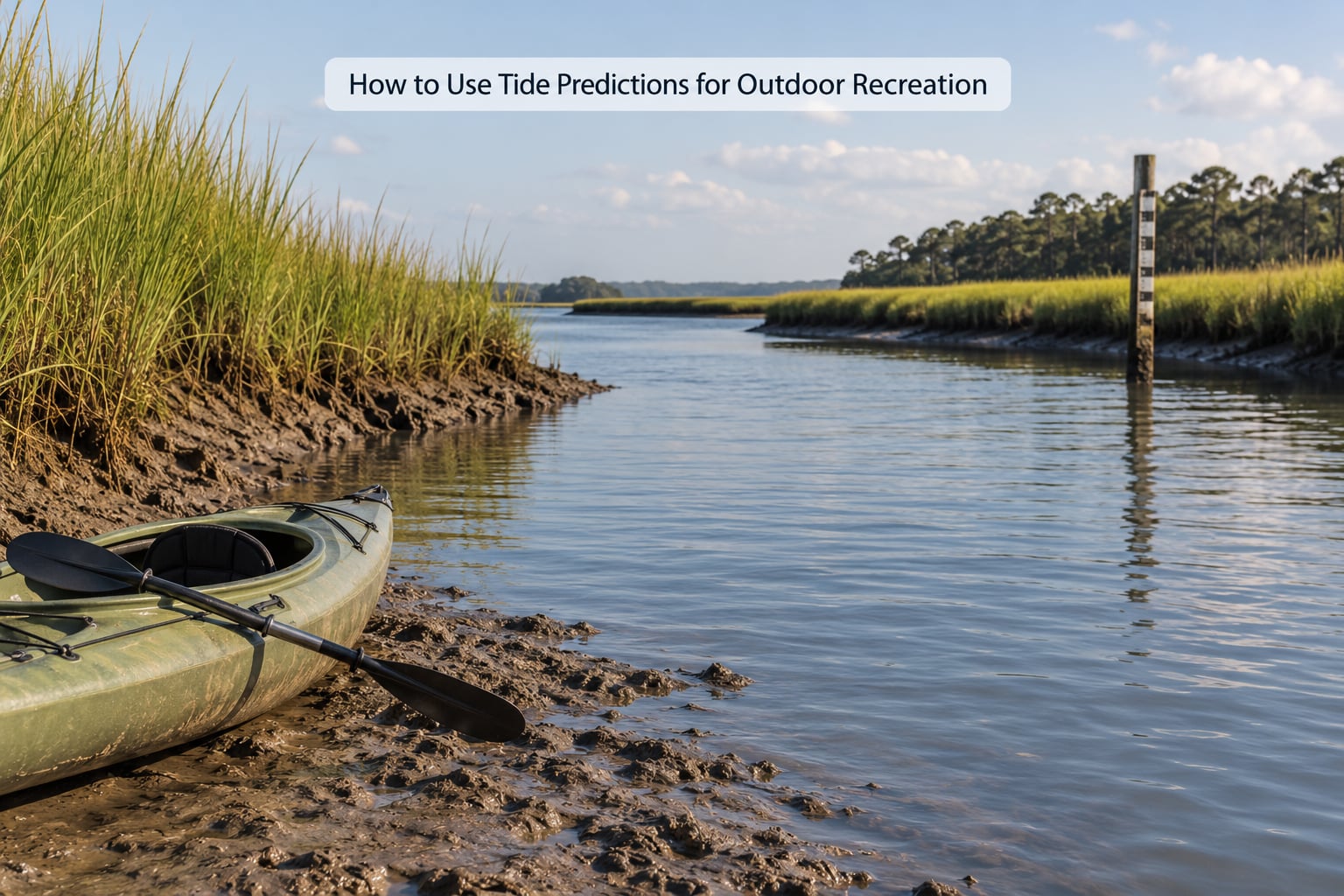
Start with the local tide table, not a rule of thumb. National ocean service tables and local harbor predictions give high and low times and heights for named stations, and you want the station nearest your launch. Add the phase lag for how far up the estuary you are going, then subtract for the current rather than the height alone.
For paddling, plan to arrive about an hour before low water and use the flood to go in. That puts you on slack or a light flood at the far end instead of fighting an ebb, and it leaves you a rising tide for the trip back if you are slow. Give yourself more slack than feels necessary; a group with heavier boats needs more room than the numbers suggest.
For wading and flats work, go early in the ebb and watch the water line the whole time. Firm bottom at the start of the drain can turn to soft silt fast. Good tide tables also give you the spring and neap pattern, and the biggest ranges around new and full moon produce the strongest currents and the widest exposed flats.
For anglers, the flood is usually the productive one because moving water carries food to structure, and the last hour before low water covers fish in the creek mouths. Birders get the same window from the other direction, because prey is exposed for a limited time and birds work the edge of the receding water.
Finally, treat the table as a plan rather than a description. Local weather, a freshet in the river, or an unfamiliar channel can each break the pattern, and none of them appear in the table.
Frequently Asked Questions
What time is high tide in an estuary?
High tide occurs when the rising water briefly levels out at the top of its range, usually twice a day on a semidiurnal coast. The printed time belongs to a specific station, and it arrives later at inland locations by an hour or several hours because the water takes time to travel up the estuary. Look up the nearest named station and add the local lag.
Why does the tide arrive later at an inland creek or harbor?
Tides are waves of water moving through a basin, and water takes time to travel. The high-water peak reaches the ocean inlet first, then passes into the main channel, then into creeks and marsh edges. That delay is called tidal lag, and it grows with distance from the mouth and with how narrow and winding the channel is.
Is it safe to paddle or wade during a changing tide?
It can be, if you plan for the change rather than against it. Paddlers usually do best arriving an hour before low water, using the flood inbound and having slack or a rising tide for the return. Wade during the early ebb and stay off soft silt. In a narrow creek the current can exceed your walking speed, so check the range before committing.
Do wind and storms affect estuary tide predictions?
Yes, and sometimes by a lot. Onshore wind piles water against the coast, raising and delaying the high tide, while offshore wind suppresses it. Falling atmospheric pressure lifts water level, and a storm crossing the shelf can add surge on top of an already high tide. River floodwater adds another layer. Predictions cover the astronomical tide only.
Why do some estuaries have low salinity while others are very salty?
Salinity is the balance between seawater pushing in and fresh water pushing out. Where rivers discharge heavily, especially after rain, the salt front moves seaward and the upper estuary stays nearly fresh. In drought, the denser salt water creeps upstream as a bottom layer. Ocean-dominated estuaries with little river flow run close to marine salinity from mouth to head.
How can tides help anglers and birders?
Tides concentrate food. As the flood brings water into creeks, small fish and shrimp follow it in and anglers work the current at creek mouths and channel edges. For birders, the falling tide exposes worms, clams and crabs on the flats, and shorebirds work the receding waterline for the hour or two before low water, so plan to be in place before that window opens.
Conclusion
The chain runs in one direction. Tides move water, the volume of moving water is the tidal prism, and the prism sets current strength, which scours channels here and deposits mud there. That landform pattern then sets salinity, habitat and access, which is why the same creek looks and behaves so differently at low water than it does at high water.
Before you head out, check four things: the predicted tidal stage for the nearest station, the current direction and strength at your landing, the wind and pressure forecast, and whether your launch and route stay workable through the whole trip. Those four checks take ten minutes and cover most of what can go wrong on an estuary tide.