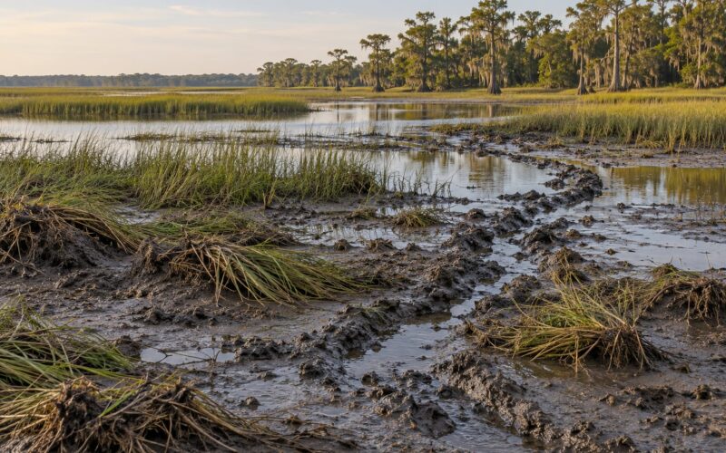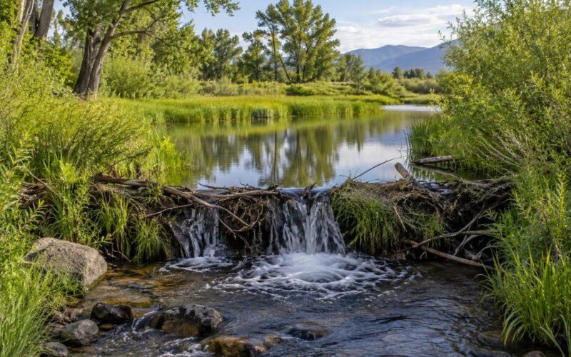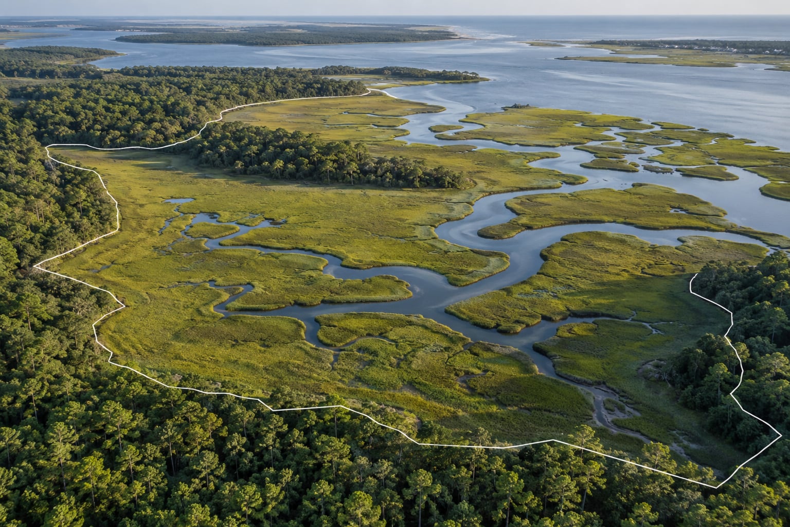
Protected acreage numbers matter because they are the scoreboard behind nearly every conservation commitment governments and land trusts make, and wetlands are where the stakes are most concrete. UNEP-WCMC’s World Database on Protected Areas puts the United States at 13.02% of its land area protected as of 2021, up from 11.79% the year before. That single figure tells you how much ground is formally set aside. It does not tell you whether the water moving through that ground stays clean, whether a marsh can absorb a hurricane surge, or whether you can launch a canoe on Saturday. Those are the reasons the number gets argued over.
The honest version of this topic has two halves. Acreage is the fastest way to see whether a region is keeping pace with development, and it is how funding gets justified. But acreage on its own rewards a paper park designation that exists on a map and nowhere else in practice. Both halves matter, and the second half is where most published explainers stop talking.
Here in the Southeast, where tidal marsh, cypress swamp, bottomland hardwood and floodplain still crowd the coastline, the difference is easy to see from a boat. A creek with intact marsh along both banks behaves differently after a heavy rain than one lined with cleared pasture, and that difference comes down to how much of the surrounding land stayed whole.
Table of Contents
- What Does Protected Acreage Mean?
- Legal protection
- Conservation designation
- Restoration land
- Land ownership is a separate question
- How Conservation Acreage Is Counted
- Why Protected Acreage Numbers Matter
- Why protected acreage numbers matter for wetlands
- Habitat continuity beats scattered parcels
- Water quality and flood buffering
- Carbon, climate and long-term resilience
- Species protection you can measure
- Restoration funding and accountability
- How Much Protection Is Enough?
- What Protected Acreage Does Not Tell You
- How to Compare Protection Numbers Fairly
- What Protected Acreage Means for Outdoor Recreation
- How to Support the Land That Protects These Areas
- Frequently Asked Questions
- What counts as protected land?
- Is a bigger protected area always better than a smaller one?
- How is protected acreage different from restored acreage?
- How many acres of protected land are there in the United States?
- Where can I verify a protected acreage figure myself?
- Does a designated protected area mean the rules are enforced?
- Conclusion
What Does Protected Acreage Mean?
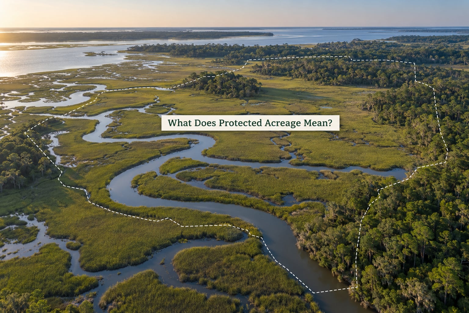
Protected acreage is the total land area formally set aside and managed for conservation, expressed in acres or as a share of a region’s land area. The International Union for Conservation of Nature defines a protected area as a clearly defined geographical space, recognized, dedicated and managed to achieve the long-term conservation of nature. Management is part of the definition, not an optional add-on.
Three categories get tangled together constantly, and separating them makes acreage claims much easier to weigh.
Legal protection
Legal protection means a specific land-use restriction exists in a statute, easement or deed. Land cannot be paved without a process, and in some cases it cannot be converted at all. A perpetual conservation easement held by a qualified land trust is the most common private-land example.
Conservation designation
A designation is a label attached to a place by an agency or organization. National parks, national monuments, wilderness areas, wildlife refuges, state natural areas and tribal lands all arrive with one. Designation is what gets a boundary drawn on Protected Planet and entered into a global total.
Restoration land
Restoration land is being repaired back toward a natural function, often under a multi-year agreement rather than a permanent one. Drawn-down farm acreage enrolled in the USDA Conservation Reserve Program, stream buffers and mitigation banks fall here. It counts as conservation work, but it rarely appears in a protected-area total.
Land ownership is a separate question
Protected acreage is not the same as land owned by conservation-minded people. Roughly 60% of U.S. land is privately owned, yet only about 3% of U.S. protected areas sit on private land. Meanwhile US conservation easements protect an estimated 40 million acres that show up in no national protected-area figure at all. That gap is why headline percentages and county-level reality often disagree.
How Conservation Acreage Is Counted
Not all acres get counted the same way, and the counting rules explain a lot of why the numbers look confusing. Understanding the method is the fastest way to judge whether a figure is trustworthy.
The World Database on Protected Areas, maintained by UNEP-WCMC and published through Protected Planet, is the global reference. Two rules in it catch most readers out. First, an area must reach at least 1,000 hectares, roughly 2,471 acres, before it enters the database. Small county parks and individual easements fall below that floor and simply disappear from national totals. Second, a designation on paper does not mean protection is in force. The database records that land has been set aside; it does not record whether anyone patrols it, funds it, or enforces its rules.
On top of that sit reporting lag, point-versus-polygon mapping differences between countries, and the fact that designations get upgraded, downgraded or occasionally removed. A state’s number can dip in a given year because a boundary was redrawn, not because habitat was lost.
| Year | Share of land area protected | Source |
|---|---|---|
| 2016 | 12.97% | WDPA via World Bank indicator ER.LND.PTLD.ZS |
| 2017 | 12.99% | WDPA via World Bank indicator ER.LND.PTLD.ZS |
| 2018 | 12.99% | WDPA via World Bank indicator ER.LND.PTLD.ZS |
| 2019 | 12.99% | WDPA via World Bank indicator ER.LND.PTLD.ZS |
| 2020 | 11.79% | WDPA via World Bank indicator ER.LND.PTLD.ZS |
| 2021 | 13.02% | WDPA via World Bank indicator ER.LND.PTLD.ZS |
That 2020 dip is the clearest argument for caution. A drop of more than a percentage point in one year, followed by a jump back past the previous high, reads as a boundary-mapping revision rather than an actual swing in conservation effort.
One more measurement note for anyone comparing a national monument to a county park. A single large designation can move the national number more than a decade of small transactions. The Roadless Rule alone covers 58,518,000 acres of national forest. An individual 13,352-acre easement in the Big Bend region is real and valuable, but it will never register the same way.
Why Protected Acreage Numbers Matter
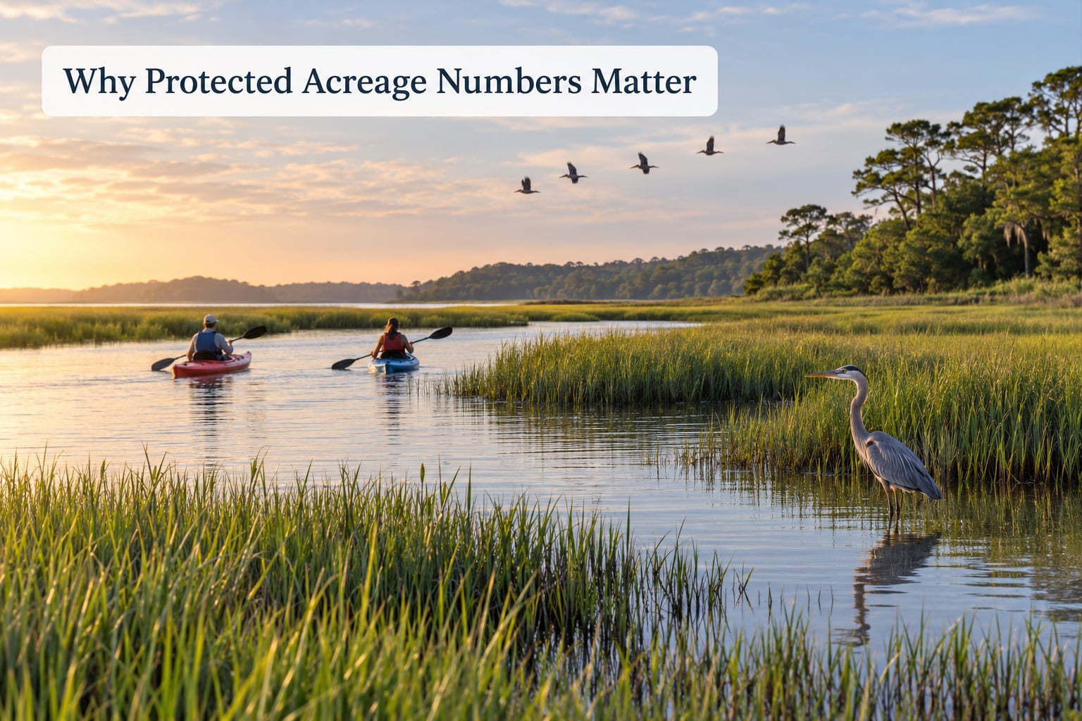
Here is the direct answer. Why protected acreage numbers matter is that acreage is the closest thing conservation has to a public scoreboard, and it tracks four things readers can actually check: whether habitat stays intact, whether water keeps moving cleanly, whether species have room, and whether anyone can still reach the place. A number that moves in the wrong direction is the earliest warning that all four are drifting.
Why protected acreage numbers matter for wetlands
Wetlands are the clearest case because the function is physical, not abstract. A marsh does not store water by existing in one piece; it stores water by being connected to the water around it. Keep enough of that marsh in contiguous blocks and tidal exchange slows, nutrients settle, and surge energy dissipates. Fragment it into scattered parcels with cleared ground between them, and the same storm produces a sharper flood downstream.
Habitat continuity beats scattered parcels
Wildlife do not read acreage totals; they read habitat blocks. A 500-acre parcel in the wrong place, hemmed in by development on three sides, supports fewer species than a 200-acre strip stitched between two existing reserves. Ecologists call this ecological connectivity, and it is why corridor projects show up in so many regional plans. The number of protected acres tells you how much area exists. Connectivity tells you whether it works.
Water quality and flood buffering
Wetland plants slow water down and trap sediment, nutrients and excess nutrients from runoff before they reach open water. Larger, more continuous protected areas do more of this simply because more of the drainage is inside them. For downstream water quality, that translates into steadier flows through a dry month and less sediment in an estuary after a storm. It is also why local water districts pay attention to these figures even when they have no conservation interest at all.
Carbon, climate and long-term resilience
Wetland soils hold a lot of carbon because they are saturated, which slows decomposition. Keeping those soils wet and undisturbed protects that store. Dryland and upland forests matter just as much in the broader picture, but the carbon argument for wetland protection is unusually direct: leave the water table alone and the soil stays a sink rather than becoming a source.
Species protection you can measure
Threatened and endangered species are the most legible beneficiaries. When a population’s habitat is formally protected, the survey results tend to reflect it, and monitoring programs give agencies and land trusts evidence for later decisions. Without a protected footprint, the data simply stops.
Restoration funding and accountability
Programs that pay for restoration work, including the USDA Agricultural Conservation Easement Program, the Conservation Reserve Program, and Land and Water Conservation Fund appropriations, are all justified against a stated need. The acreage baseline is how that need gets measured and how progress gets claimed. A number nobody tracks is a number nobody funds.
How Much Protection Is Enough?
There is no universal threshold, and any article that hands you one is selling something. The global target most often cited is 30×30: the Convention on Biological Diversity goal to protect 30% of the world’s land and water by 2030, which superseded the earlier 17% of land and 10% of ocean interim targets. In the United States, land trust analysts have put the gap at roughly 440 million additional acres. U.S. ocean waters were reported at about 26% protected while land sat near 12%, a gap that reads as an imbalance rather than a solved problem.
| Acreage scale | What it usually supports | What it usually does not solve |
|---|---|---|
| A county park under 2,471 acres | Local trail access, water quality at one stream, a place for people to start caring | Missing from national totals; no regional connectivity on its own |
| A watershed-scale block of 10,000 to 50,000 acres | Water quality across a creek or river reach, flood attenuation, species range shifts | Does not stop development upstream |
| A multi-county unit above 100,000 acres | Resilient marsh, large game populations, low-impact trail networks | Costs escalate faster than acreage; management funding must keep pace |
| A national monument of several hundred thousand acres | Continuity at the scale wildlife moves, durable against political cycles | Can exclude or restrict traditional use; designation outpaces enforcement |
The pattern in that table is straightforward. The usefulness of an acreage number scales with whether the land sits in the right place, connects to something, and covers the habitat type the problem requires. A large number in the wrong watershed solves a different problem than the one you have.
What Protected Acreage Does Not Tell You
Here is where the skepticism you hear in public-land forums has a legitimate target. An acreage figure is silent on the following.
Management effectiveness. A boundary can be designated, posted and then staffed by two people part-time. Researchers who score protected areas on management effectiveness routinely find large gaps between legal status and what actually happens on the ground.
Public access. Protected does not mean open. Wilderness areas permit different uses than national parks, and some units close seasonally or entirely to protect a species or a trail season. The acreage tells you nothing about whether you can reach the water.
Habitat condition. A degraded wetland inside a protected boundary and a restored one contribute the same acreage. Vegetation, fish passage, sediment load and water quality are not in the number.
How permanent it is. Some protections run 20 to 30 years and then return to private ownership. Others are perpetual. Only the second is genuinely off the development table, and the headline percentage does not distinguish them.
Funding. An area without a stable budget and enforcement capacity can lose the features that made it worth protecting.
This is the paper-park critique in plain terms. A percentage target can be met on paper while the habitat underneath quietly degrades, and the statistic never registers the difference.
How to Compare Protection Numbers Fairly
Before you accept any acreage claim, run it through the same six checks.
1. Find the date and the source. Most circulating figures trace back to a WDPA snapshot or the World Bank’s terrestrial protected areas indicator. A 2021 number quoted as current is two reporting cycles out of date.
2. Identify the land actually included. Federal only, or federal plus state plus tribal? Marine areas counted in the same total? Get the boundary before you get excited about the size.
3. Separate protected from restored. Multi-year restoration acreage is real work but it is not a permanent designation, and mixing the two inflates the picture.
4. Check ecological representation. Your state’s percentage tells you little if every acre is pine plantation. Look for whether the habitat types you care about, tidal marsh, floodplain hardwood, longleaf savanna, are represented.
5. Confirm who administers it. The managing body tells you what happens when something goes wrong.
6. Ask what the public can do there. Hunting, fishing, paddling, access. If those are your reasons for caring, this is the question that decides whether the number matters to you.
The places to check are Protected Planet for the global view, your state natural heritage program for state-designated acreage, and the Land Trust Alliance’s easement reporting for privately held ground. Where no data exists, a county tax assessor parcel map still tells you whether the surrounding parcels are staying rural.
What Protected Acreage Means for Outdoor Recreation
Recreation is not a side effect of conservation acreage. It is one of the reasons voters keep approving acquisition money, and it is the reason a drainage stays unbuilt next to a town.
Fishing and hunting access depend on protected ground staying open and staying managed. Federal and state fish and wildlife programs manage habitat across refuge, forest and waterfowl areas specifically to produce birds and fish on the water. Paddling depends on corridors: a bayou system with continuous bank protection is safer and slower than one interrupted by clearcut and fill. Birding responds to habitat block size, since forest-interior species will not use a two-acre patch wedged between subdivisions.
The catch is worth stating plainly. Acreage is not a permission slip. Season dates, species limits, boat motor restrictions, dog rules and access roads all sit on top of the land status, and a designated area can close entirely for weeks. Check the current closure notice for the specific unit rather than assuming a designation means open access.
How to Support the Land That Protects These Areas
Acreage grows from transactions and budgets, and both respond to public behavior.
Support a land trust, a state acquisition program or the Land and Water Conservation Fund when the local option is on the table. These are the mechanisms that convert a percentage on a spreadsheet into a parcel you can actually stand on.
Respect posted closures. Seasonal closures protect nesting and spawning periods, and a single season of disturbance can undo years of work.
Stay on durable routes. Boardwalks and marked trails in marsh systems exist because off-trail foot traffic kills vegetation and erodes substrate.
Pack out what you carry and clean gear between water bodies. Mud on a boot is a transport mechanism for invasive species, and wetland plants have no defense against it.
Report habitat damage to the managing agency. Shoreline erosion, an illegal ditch, a dumping site: agencies rarely learn about these from annual reports.
Share accurate acreage figures and cite the source year. Most of the public confusion in this topic comes from recycled numbers with no date attached.
Frequently Asked Questions
What counts as protected land?
Protected land is any area formally set aside for conservation under a legal instrument, which usually means a public designation such as a national park, monument, wilderness area or wildlife refuge, a state natural area, or a legal restriction such as a perpetual conservation easement. Land under a temporary restoration contract counts as conservation work but not as a permanent protected designation, and the global database also leaves out anything under about 2,471 acres.
Is a bigger protected area always better than a smaller one?
No. Size helps only when the additional area is in the right place, connects to habitat the species already uses, and stays managed after designation. A small watershed unit covering intact marsh can protect water quality better than a much larger designation made mostly of planted pine. Researchers who score management effectiveness regularly find that legal status and day-to-day management drift apart.
How is protected acreage different from restored acreage?
Protected acreage is land under a durable legal restriction that limits what can be built or extracted. Restored acreage is land under active repair, often on a 10 to 30 year agreement, where habitat is being rebuilt but could revert if the agreement ends. Restoration figures matter enormously for wetlands, yet they are usually reported separately because they carry no permanent protection attached.
How many acres of protected land are there in the United States?
UNEP-WCMC’s World Database on Protected Areas, reported through the World Bank indicator, put terrestrial protected areas at 13.02% of U.S. land area in 2021, up from 11.79% in 2020. That percentage excludes most privately conserved ground, since U.S. conservation easements protect roughly 40 million acres and only about 3% of U.S. protected areas sit on private land.
Where can I verify a protected acreage figure myself?
Check Protected Planet, the public interface for the World Database on Protected Areas, for the global boundary layer and area totals. For U.S. detail, your state natural heritage program publishes its own designation figures, and the Land Trust Alliance tracks conservation easement acreage by state. Remember that the global database only records areas above roughly 2,471 acres, so local parks will be missing.
Does a designated protected area mean the rules are enforced?
Not necessarily. The World Database on Protected Areas records that an area has been legally set aside; it does not record whether anyone patrols it, funds it, or enforces its restrictions. This gap is the basis of the paper-park critique, and it is why analysts score management effectiveness separately from legal designation before drawing conclusions about conservation outcomes.
Conclusion
Protected acreage numbers matter because they are the only common measure of whether land is being kept intact, and in wetlands the link from acreage to clean water, buffered storms and living species is physical rather than abstract. They are also incomplete on purpose of convenience, since the totals omit small parcels, ignore enforcement and say nothing about access.
So do not ignore the figure, and do not quote it alone. Pull up the acreage, then read it next to three things: the habitat types it contains, how long the protection actually lasts, and whether the land is managed and open to the public. Everything else is commentary.