To find a migration hotspot near a coast, you intersect four things: habitat that holds food and cover, the right tide state, the right hour of the morning, and a forecast night that pushed birds toward the shoreline. Most reliable hotspots are coastal wetlands, mudflats, sandbars, dune scrub and maritime forest, and every one of them is a place a birder can check before driving three hours to stand in the wrong spot at the wrong time.
That last part is the problem. A coast is a long line of places that all look promising on a map and deliver wildly different results depending on the hour, the water level and what happened overnight. The method below is how I narrow a coastline down to one or two spots worth your Saturday, and how you confirm them before you commit to the drive.
It takes about 15 minutes of desk work to rank a candidate, plus an optional scout visit. If you skip the desk work and drive on reputation, you are betting a whole morning on a blog post from three seasons ago.
Table of Contents
- What You Need
- Recent reports from real people
- Maps and tide data
- Weather radar and forecast access
- Optics, a field guide and a way home
- Step-by-Step
- 1. Choose the right migration window
- 2. Start with coastal habitat clues
- 3. How to find a migration hotspot near a coast using reports
- 4. Match the search to wind, weather, and tides
- 5. Confirm the hotspot on the ground
- 6. Check access, safety, and conservation rules
- Common Mistakes
- Frequently Asked Questions
- What is the best time of year to find a migration hotspot near a coast?
- Should I search coastal migration hotspots before sunrise or after sunset?
- How can I tell whether a birding report is still current?
- Do tides matter when looking for migrating birds along the coast?
- What app or website should I use to find recent coastal bird sightings?
- What should I do if the reported hotspot has no birds when I arrive?
- Conclusion
What You Need
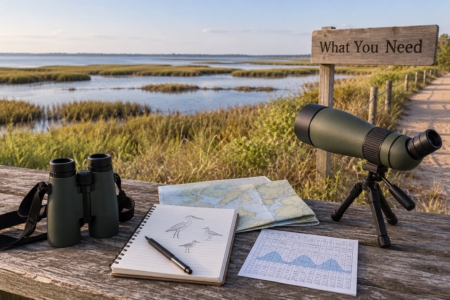
You need four categories of information and about ten minutes to assemble them.
Recent reports from real people
eBird is the one source worth checking first, because it sorts by date and it records effort. The hotspot pages list recent checklists, and trip reports describe the day in a birder’s own words, including the weather and the tide at the time. A local bird club’s mailing list or Facebook group, a park ranger’s seasonal report, and a regional migration dashboard fill in the gaps that a single app leaves.
Maps and tide data
Any topographic or satellite map with an elevation overlay tells you where the high ground is, which matters more than people expect. Coastal sites that flood at high tide push birds onto a narrow strip of ridge, and that strip is often the only place worth standing.
Pair the map with a tide table for the nearest station, and note the times of high and low water for your outing date. A tide station several miles away can be off by a useful amount on a shallow coast, so pick the closest one you can find and add a buffer.
Weather radar and forecast access
BirdCast is a weather radar based migration forecast that shows where birds are expected to move on a given night and how intense that movement looks. It is the single most useful tool for planning a coastal trip, and it is free on the web. For raptors specifically, HawkCount.org carries station tallies and season-to-date numbers from an extensive network of counting sites along the major flyways.
A standard weather app covers the rest: wind speed and direction, precipitation, visibility, sunrise time and any fog or thunderstorm risk. On the coast those five variables decide your morning more than the date does.
Optics, a field guide and a way home
Bring binoculars, a spotting scope for anything on a flat or a mudflat, a field guide that you actually know how to use, and a notebook or phone for notes. Coastal distances are deceptive: a flock at 400 yards across a tidal creek is genuinely far.
Finally, know how you are getting home. Tide cuts off some coastal access, and the detour at the end of a long day is the part nobody plans for.
Step-by-Step
1. Choose the right migration window
Spring and fall are the two big windows, and they are not mirror images. In fall, adult birds travel first and juveniles follow a couple of weeks later, so the peak for many songbirds sits a bit later than the peak for raptors. In spring the pace is compressed and driven hard by weather, so a single strong front can produce the biggest flight of the entire season overnight.
Peaks also shift with latitude. A bird leaving a Gulf Coast wintering site reaches the Carolinas days before it reaches New England, so a date that means something in Texas means nothing in Nova Scotia. The fix is to stop planning around a date and start planning around a signal.
Watch the radar forecast for two or three nights before you go. A night with light winds, clear skies and a following wind is the classic setup, because birds fly efficiently and arrive in good condition. Rain and a strong opposing wind suppress movement entirely, and a foggy night can do something better and worse: birds fly into it and then come down exhausted.
Check sunrise and time the trip backwards from it. Most coastal migration birding happens in the first two hours after first light.
2. Start with coastal habitat clues
Read the aerial photo or satellite image and ask one question: where does a bird land and feed here? Everything productive on a coast answers that question. A tidal creek with a marsh edge, a mudflat that drains to a sandbar, a scrubby island behind a barrier dune, a stand of maritime forest next to open water.
Then match the habitat to what you actually want to see. Different patches deliver different birds, so this quick breakdown is the fastest way to decide where to point first.
- Mudflat: sandpipers, plovers, dowitchers, godwits and small peeps, all feeding on exposed invertebrates. Best on a falling tide heading to low, so the flats are open.
- Sandy beach: Snowy Plover, Sanderling, terns, gulls and the occasional rarity. Best low to mid, with the wrack line exposed.
- Salt marsh: aerial feeders, rails pushed up by rising water and waders. Best at high tide, which concentrates birds on the hummocks.
- Estuary and tidal creek: the widest species mix, with herons, ibis and waterfowl. Best mid to high, while the creek is still draining.
- Maritime forest and dune scrub: warblers, thrushes, vireos, orioles and other migrating songbirds. Tide is irrelevant here, so time it by dawn.
- Offshore sandbar or island: scoters, gulls, terns, jaegers and pelicans. Best at high tide, which closes the bar and holds the birds together.
A practical rule: the smaller and more specific your habitat target, the more likely the site is to be worth the trip. A generic “the beach” will disappoint you. A specific mudflat with a nearby high point is a plan.
3. How to find a migration hotspot near a coast using reports
Reports are how you rank candidates, but only if you grade them. Five sources matter, and they answer different questions.
eBird hotspot pages tell you what was reported there and how recently. Sort by date and read the checklist header, which records the party size, duration, distance and protocol. A 40 species complete checklist from 200 birds for 90 minutes means something very different from a 3 species partial from a drive-by.
Trip reports from the same site tell you the conditions that produced the birds. Birder’s Digest and similar regional digests give the local texture, including which tide worked and which scrub patch held warblers.
Local bird clubs and social posts tell you about access and rules that no map records, such as a boardwalk closure or a dog restriction. Ranger reports cover which sections of a refuge or park are open this month.
HawkCount.org is the tool for raptors specifically. It publishes season-to-date tallies from hundreds of stations, which lets you compare a site you know against one you have never visited.
Migration dashboards and forecast maps give you the tonight picture, and BirdCast is the useful one here. On the map, look for movement that funnels toward your coast and for strong intensity in the evening hours, because that is the signal birds are pushing inland and seaward in bulk. The forecast is only as good as the night before, so I check it again the evening of the trip.
Now grade each candidate. Give a point for a checklist in the last three days, a point for a trip report naming your target species, a point for the habitat matching your guild, a point for confirmed public access, and a point for a forecast that favours movement. Drive to the two highest scores.
4. Match the search to wind, weather, and tides
Wind direction and speed decide where birds physically end up, because a following wind lets them fly fast and a headwind forces them to work. Coastal sites on an exposed point or a barrier island act as funnels, and on a day with a strong coastal wind you will often see raptors stacked low and moving fast just above the surf line.
Rain, fog and low visibility do something else. Fog grounds nocturnal migrants, and the morning after a foggy night a coastal patch can be holding warblers and thrushes that would normally have flown straight over it. Birders call that grounded fallout, and it is the highest-value tip on this page. Check the previous night’s visibility, then go at first light rather than at a comfortable hour.
Tides matter most for the birds that feed in the intertidal zone. Tide-dependent rules are simple once you have them: falling and low tide exposes the mudflats where sandpipers and plovers feed on invertebrates, and rising and high tide pushes waders, rails and dabbling waterfowl up onto the marsh where you can see them and they cannot hide.
High tide also closes sandbar crossings, which cuts both ways. It concentrates seabirds into viewable groups and it can trap you on the wrong side of a creek. Add 30 minutes of daylight buffer to your return time.
5. Confirm the hotspot on the ground
Arrive 30 minutes before first light and use this sequence.
Listen before you look. Nocturnal flight calls overhead mean birds passed through in the night, and the chorus after dawn tells you how much fuel is in the trees nearby. Then scan the horizon for movement, because arriving flocks are often visible two miles out and inbound.
Work the edge, not the middle. The ecotone between two habitat types carries more species than either one alone, so a marsh edge beside a hedgerow beats an open marsh.
Count and record as you go. Note the start time, the tide state, the weather and the habitat, and stay long enough to see a second wave. A two-hour visit at one good site usually outperforms four hours at three poor ones.
Then decide whether to stay or move. If the wind has shifted offshore, or nothing moved in the first hour, or the birds are clearly using a different edge than the one you picked, move rather than pushing your luck. Pivoting early is a skill, not an admission.
6. Check access, safety, and conservation rules
Before you go, confirm parking, hours, permits and seasonal closures, because a surprising share of the best coastal sites sit on military bases, private land or managed preserves with seasonal access rules. Some sites require a free permit or a signed gate log. Some beaches close to nesting shorebirds above a marked fence, and that fence is not a suggestion.
On the ground, stay out of dunes and salt marsh vegetation above the high water line. Sand blows away easily, nests sit almost flush with the sand, and trampling one is a real injury to the birds. Keep dogs leashed where leashing is required and off the beach entirely during nesting season.
Leave nothing behind, and take your litter and any fishing line out with you. Keep a respectful distance from roosting shorebirds, and if a flock flushes and circles, you are too close; move along the beach and give them room to resettle. A roost that gets scattered repeatedly can lose enough energy to delay a bird’s whole journey.
Safety check: check surf and rip current conditions before an exposed beach morning, watch for lightning, carry water and sun protection even in October, and tell someone your route. Rising tide on a marsh trail is not a shortcut back.
Finally, log your checklist. Uploading it keeps the site active for the next person, and personal effort data is the only thing that makes the reports on which you depend reliable.
Common Mistakes
Treating an old sighting as current. A spot famous five years ago may be built over, drained, or simply out of season. Fix: sort every source by date, and weight anything under a week old far above anything older.
Ignoring the tide table. Arriving at high tide for mudflat birds means watching empty substrate. Fix: decide which guild you want first, then pick the tide state for that guild before you pick the hour.
Getting there at a comfortable time. Most coastal migration activity is concentrated in the first two hours after first light. Fix: work backwards from sunrise and accept the early alarm.
Reading radar as a bird list. Radar shows flight intensity, not species or count, and coastal clutter, offshore wind farms and buildings produce false echoes. Fix: use BirdCast to time the trip, then use reports and habitat to choose the spot.
Expecting to see migrating songbirds in flight. Most songbirds, warblers and thrushes, fly at night, so there is nothing to look at in the sky during the day. Fix: look for them in trees and scrub after dawn, and listen for flight calls the night before.
Wearing the wrong colours. Bright red, orange, neon yellow and stark white, plus patterned or noisy clothing, break up an outline that birds use to judge safety. Fix: muted earth tones, a neutral or dark outer layer, and a hat you do not need to remove.
Entering restricted habitat. Boardwalk closures, gated refuges, fenced dunes and private property are there for a reason. Fix: read the signs and the site rules, ask a ranger, and respect seasonal closures even when the birds are visibly just over the line.
Overcrowding the famous patch and ignoring the one behind it. The headline sites get hammered every weekend, and the birds show it. Fix: work a less visited habitat edge, shift your timing by an hour, and treat the well-known site as one option among three.
Frequently Asked Questions
What is the best time of year to find a migration hotspot near a coast?
Most of the action falls in two windows: roughly March through May for spring and August through November for fall, though dates shift noticeably with latitude. The better filter is conditions rather than calendar. Plan for a night with light winds, clear skies and a following wind, then go at first light the next morning. Fall peaks spread over a longer stretch, with adults passing before juveniles.
Should I search coastal migration hotspots before sunrise or after sunset?
Arrive 20 to 30 minutes before first light, because most coastal feeding activity peaks in that window. Listening in the dark for nocturnal flight calls tells you what moved overnight before you can see anything. Late afternoon and evening are worth it for raptors riding the last thermals, and for seabirds on an evening scan. After dark birding is specialist work and unsafe without a plan.
How can I tell whether a birding report is still current?
Check the date, the effort behind the report, and the conditions. A complete checklist from three days ago listing 30 species is worth more than a drive-by list from last month. Read the trip report for tide, wind and time, and compare it against tonight’s forecast. If the two disagree, trust the newer observation. A site that has gone quiet in reports for two weeks in peak season is a warning, not a bad-luck spell.
Do tides matter when looking for migrating birds along the coast?
They matter enormously for anything feeding in the intertidal zone. Falling and low tide exposes mudflats for sandpipers, plovers and dowitchers. High tide pushes waders, rails and dabbling ducks up onto the marsh where they are visible, and concentrates seabirds over closed sandbars. For warblers and thrushes in maritime forest, tide is irrelevant and dawn is everything. Pick the guild first, then the tide state.
What app or website should I use to find recent coastal bird sightings?
eBird is the best starting point, because hotspot pages sort by date and show the effort behind each checklist. BirdCast is the companion for timing, a free radar based migration forecast that shows where movement is expected and how strong. HawkCount.org covers raptor stations with season-to-date tallies. Add a tide table and a local club mailing list. No single source is enough, and they each answer a different question.
What should I do if the reported hotspot has no birds when I arrive?
Three causes cover most of it: wrong tide, wrong hour, or a night that produced no movement. Check each quickly. If the tide is wrong for your target, wait or return at the opposite state. If you arrived an hour late, stay, because a second wave often comes. If last night was windy and overcast, the birds did not fly and there is nothing to find, so move to a permanent concentration such as a harbor or a roost. Log the empty checklist anyway.
Conclusion
Start with the species, because the guild sets the habitat and the habitat sets the tide. Then pick a window and a forecast night rather than a calendar date, check recent reports from the exact site, and confirm the habitat and access on the map. Arrive before first light with a tide table in your pocket.
That sequence takes about 15 minutes and it removes most of the wasted mornings. When the conditions line up, you will find a migration hotspot near a coast that other people walked past the week before.